Châtel for Families
Châtel scores 5.2/10 for families: Beginner score 6.4 /10, Village elevation 1,186 m and Drive time from the main airport 103 min.
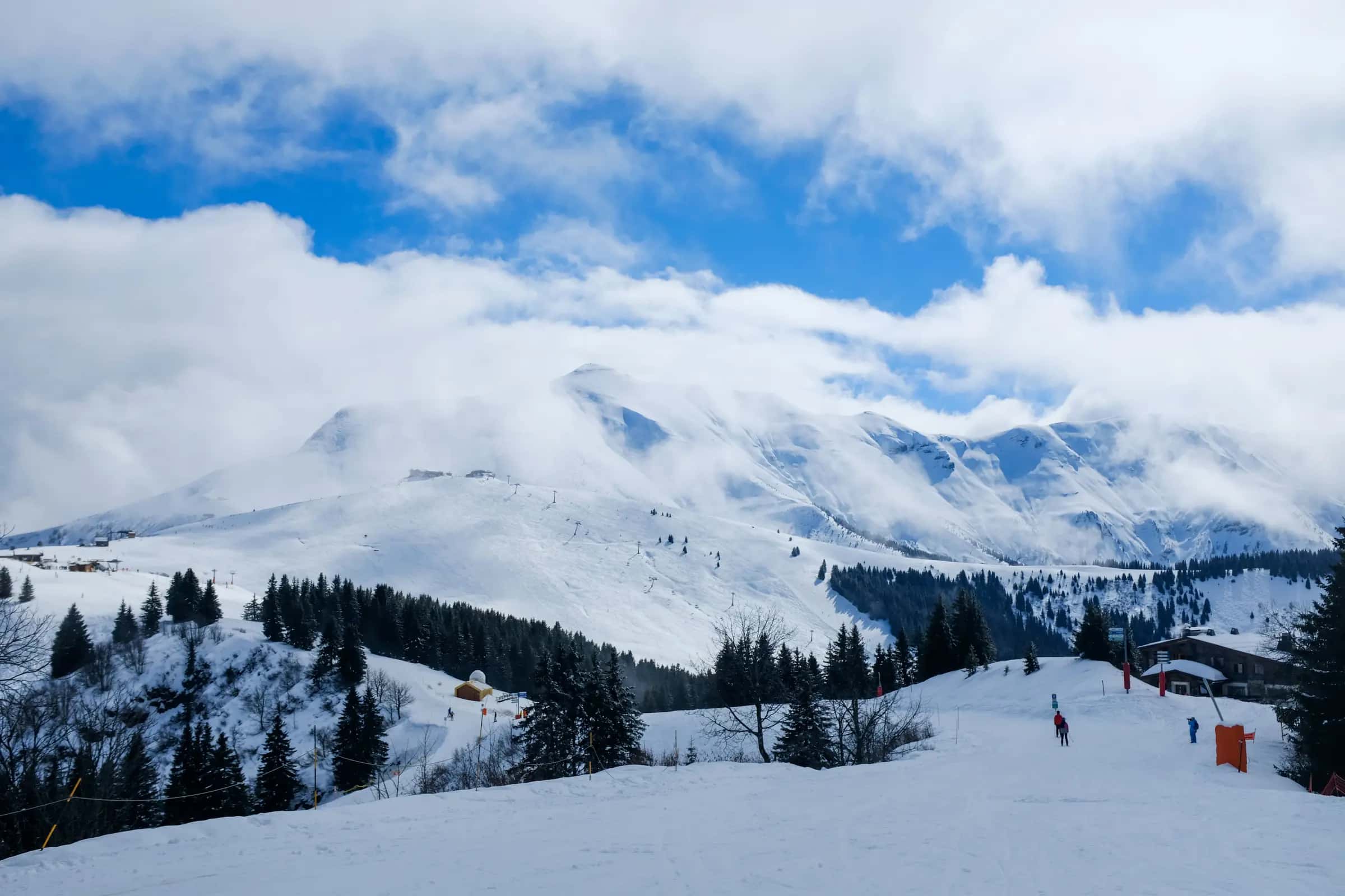
Photo: Adrien Olichon via Pexels · Pexels License
Family score
- Family
- Beginner
- Ski-in/ski-out
Scores out of 10 compare mountain facts and facilities; guest reviews are shown separately. Select a score to see how it was worked out. How we score resorts ↗
| Fact | Value |
|---|---|
| Beginner score | 6.4 /10 |
| Village elevation | 1,186 m |
| Drive time from the main airport | 103 min |
Facilities
| Fact | Value |
|---|---|
| Childcare facilities | 0 |
| Pools | 2 |
| Ski schools | 0 |
Tips for families
- Châtel scores 5.2/10 for families.
- 58% of the piste network is green or blue, the easiest classification.
- Villages span 1,026–1,257 m; Châtel (1,186 m) is the highest ski-in village.
Easy pistes
| Piste | Difficulty | Length | Vertical |
|---|---|---|---|
| Route du Clos Baron | Green | 2,957 m9,700 ft | 261 m860 ft |
| Recon | Blue | 1,575 m5,170 ft | 343 m1,130 ft |
| Bellevue | Blue | 1,470 m4,820 ft | 220 m720 ft |
| Uski | Blue | 1,326 m4,350 ft | 212 m700 ft |
| Panoramique | Blue | 1,250 m4,100 ft | 268 m880 ft |
| Chalet Neuf | Blue | 1,119 m3,670 ft | 167 m550 ft |
| Onnaz-Chermeu | Blue | 1,082 m3,550 ft | 111 m360 ft |
| Hermine | Blue | 1,022 m3,350 ft | 202 m660 ft |
| Chemin Rural du Riz à l'Auboury | Green | 913 m3,000 ft | 87 m290 ft |
| Belette | Blue | 883 m2,900 ft | 195 m640 ft |
| Accès Braitaz | Blue | 881 m2,890 ft | 149 m490 ft |
| Biche Bas | Blue | 722 m2,370 ft | 170 m560 ft |
| Sanglier | Blue | 675 m2,210 ft | 42 m140 ft |
| Chaux Longe | Blue | 616 m2,020 ft | 71 m230 ft |
| Tour de Don | Blue | 612 m2,010 ft | 142 m470 ft |
| 54 | Blue | 567 m1,860 ft | 30 m100 ft |
| Conches | Blue | 481 m1,580 ft | 45 m150 ft |
| Pingouin | Green | 467 m1,530 ft | 66 m220 ft |
| Douanier | Green | 456 m1,500 ft | 32 m100 ft |
| Ourson | Green | 401 m1,320 ft | 46 m150 ft |
| Le Lac | Blue | 231 m760 ft | 15 m50 ft |
| Lac | Green | 216 m710 ft | 38 m120 ft |
| Coquelets | Green | 178 m580 ft | 25 m80 ft |
| Piste Pastorale du Follière | Blue | 91 m300 ft | 5 m20 ft |
| Col Vert | Green | 30 m100 ft | 0 m0 ft |
| Panomarique | Blue | 14 m50 ft | 0 m0 ft |
101 unnamed connecting sections, 27 km16.9 mi.
Frequently asked questions
Why does Châtel score 5.2/10 for families?
The three inputs that move the score most are Beginner score 6.4 /10, Village elevation 1,186 m and Drive time from the main airport 103 min.
Is there childcare in Châtel?
0 childcare providers are listed in OpenStreetMap for Châtel.
How many ski schools are there in Châtel?
0.
How much of Châtel is easy skiing?
58.3% of the piste km we measure is green or blue.
How high is the village in Châtel?
1,186 m, with lifts to 2,052 m.
Are there magic carpets in Châtel?
3 magic carpets are mapped in Châtel.
How far is Châtel from Geneva airport?
Geneva is about 103 minutes by road from Châtel (56.5 km).
How high is Châtel?
The highest lift-served point is 2,052 m, with the village at 1,186 m, a vertical of 858 m.
Related pages
Data updated · Sources: OpenStreetMap contributors (ODbL)