Ischgl for Families
Ischgl scores 5.0/10 for families: Childcare and kindergartens 2 facilities, Village elevation 1,377 m and Drive time from the main airport 84 min.
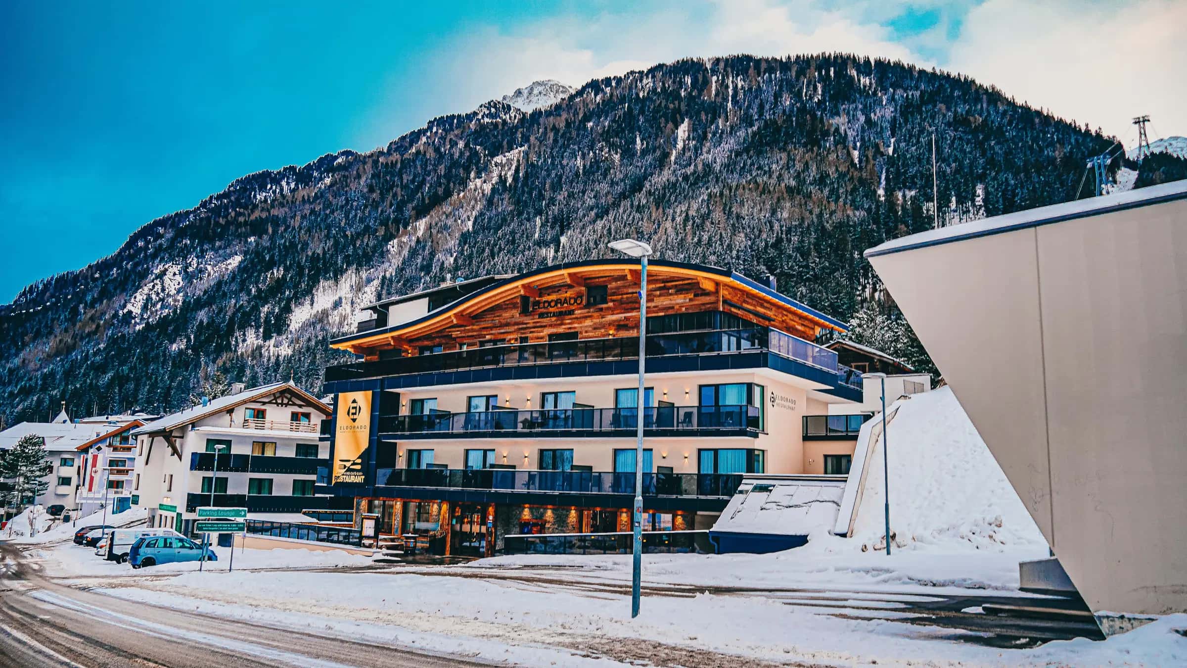
Photo: Justin L U C K via Pexels · Pexels License
- Piste network
- 98 km61.0 mi
- Lifts
- 28
- Ski area
- Silvretta Arena
Family score
- 5.0Family
| Fact | Value |
|---|---|
| Childcare and kindergartens | 2 facilities |
| Village elevation | 1,377 m |
| Drive time from the main airport | 84 min |
Facilities
| Fact | Value |
|---|---|
| Childcare facilities | 2 |
| Pools | 3 |
| Ski schools | 0 |
Tips for families
- Ischgl scores 5.0/10 for families.
- 24% of the piste network is green or blue, the easiest classification.
- 2 childcare facilities are listed in the resort.
- The village sits at 1377 m.
Easy pistes
| Piste | Difficulty | Length | Vertical |
|---|---|---|---|
| 8 | Blue | 2,457 m8,060 ft | — |
| 11 | Blue | 2,427 m7,960 ft | — |
| 2 | Blue | 2,397 m7,860 ft | — |
| 62 | Blue | 2,390 m7,840 ft | — |
| 6 | Blue | 1,993 m6,540 ft | — |
| 23 | Blue | 1,894 m6,210 ft | — |
| 63 | Blue | 1,535 m5,040 ft | — |
| 64 | Blue | 1,475 m4,840 ft | — |
| 40b | Blue | 1,269 m4,160 ft | — |
| 2b | Blue | 850 m2,790 ft | — |
| Edelweiss | Blue | 480 m1,570 ft | — |
31 unnamed connecting sections, 5 km2.9 mi.
Frequently asked questions
Why does Ischgl score 5.0/10 for families?
The three inputs that move the score most are Childcare and kindergartens 2 facilities, Village elevation 1,377 m and Drive time from the main airport 84 min.
Is there childcare in Ischgl?
2 childcare providers are listed in OpenStreetMap for Ischgl.
How many ski schools are there in Ischgl?
0.
How much of Ischgl is easy skiing?
24.2% of the piste km we measure is green or blue.
How high is the village in Ischgl?
1,377 m.
Are there magic carpets in Ischgl?
2 magic carpets are mapped in Ischgl.
How far is Ischgl from Innsbruck airport?
Innsbruck is about 84 minutes by road from Ischgl (84.7 km).
How many km of pistes does Ischgl have?
Ischgl has 98.2 km of marked pistes across 68 runs, measured from OpenStreetMap geometry.
Related pages
Data updated · Sources: OpenStreetMap contributors (ODbL)