Schladming for Families
Schladming scores 7.6/10 for families: Childcare and kindergartens 4 facilities, Beginner score 5.9 /10 and Village elevation 745 m.
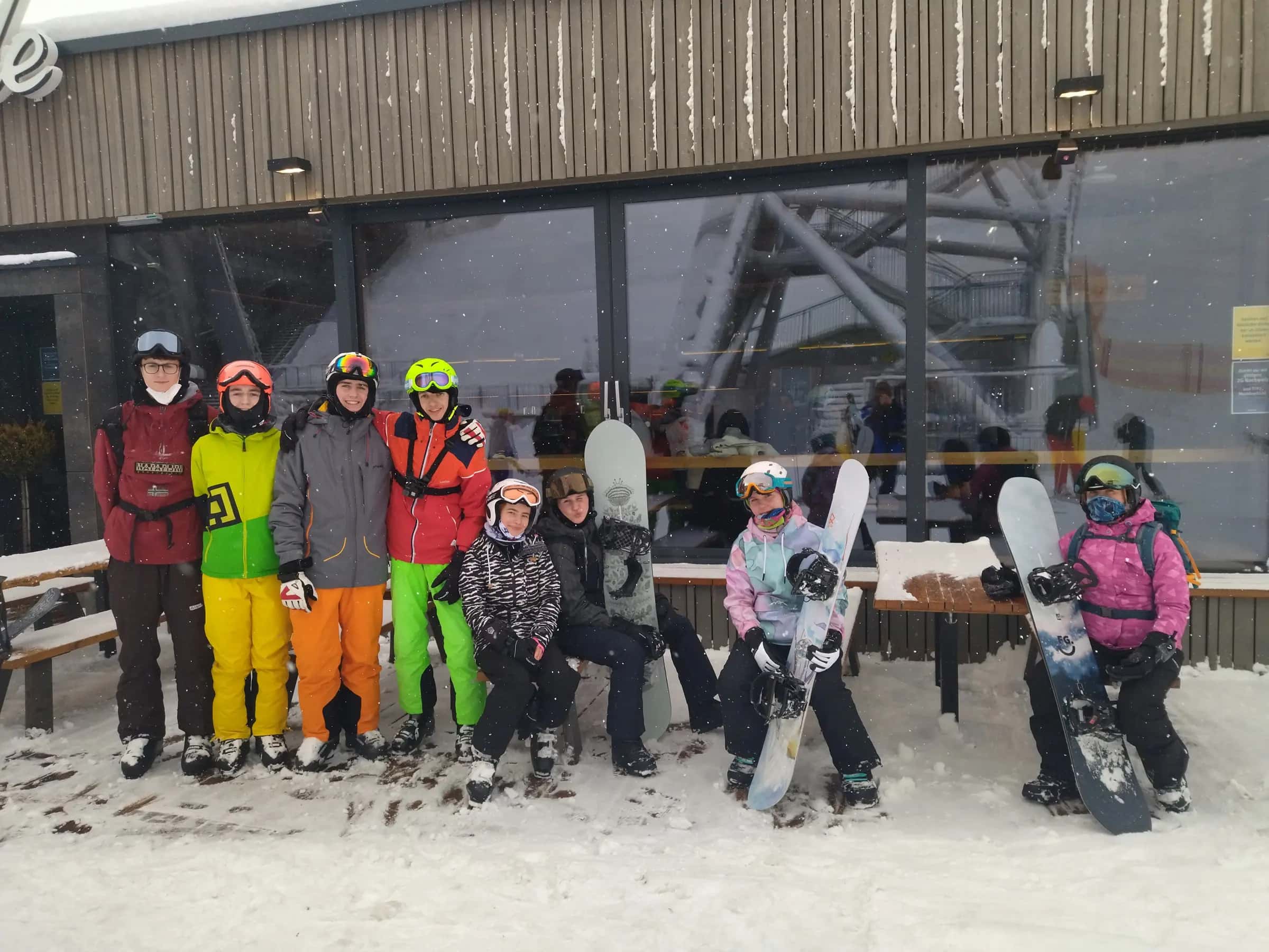
Photo: Jan Beránek via Wikimedia Commons · CC BY-SA 3.0
- Piste network
- 185 km115.0 mi
- Lifts
- 76
- Ski area
- Ski amadé
Family score
- 7.6Family
| Fact | Value |
|---|---|
| Childcare and kindergartens | 4 facilities |
| Beginner score | 5.9 /10 |
| Village elevation | 745 m |
Facilities
| Fact | Value |
|---|---|
| Childcare facilities | 4 |
| Pools | 4 |
| Ski schools | 3 |
Tips for families
- Schladming scores 7.6/10 for families.
- 47% of the piste network is green or blue, the easiest classification.
- 4 childcare facilities are listed in the resort.
- The village sits at 745 m.
Easy pistes
| Piste | Difficulty | Length | Vertical |
|---|---|---|---|
| Verbindungsweg | Blue | 8,626 m28,300 ft | — |
| Talabfahrt | Blue | 4,098 m13,440 ft | — |
| Rohrmooser Plateau | Blue | 4,053 m13,300 ft | — |
| Weitmoosabfahrt | Blue | 3,977 m13,050 ft | — |
| Skiweg Talabfahrt | Blue | 3,357 m11,010 ft | — |
| Höfi-Abfahrt | Blue | 3,069 m10,070 ft | — |
| 6 - Die Schönste | Blue | 2,903 m9,520 ft | — |
| Weltcup-Abfahrt | Blue | 2,893 m9,490 ft | — |
| Golden Line | Blue | 1,719 m5,640 ft | — |
| 6 - Skiweg Kaiblingalm | Blue | 1,697 m5,570 ft | — |
| Skiweg Markt Haus | Blue | 1,591 m5,220 ft | — |
| Primpsabfahrt | Blue | 1,510 m4,950 ft | — |
| Verbindungsabfahrt | Blue | 1,351 m4,430 ft | — |
| Kaiblingalm-Abfahrt | Blue | 1,330 m4,360 ft | — |
| Skiweg Höfi-Express | Blue | 1,330 m4,360 ft | — |
| Vorderfagerabfahrt I | Blue | 1,270 m4,170 ft | — |
| Vorderfagerabfahrt II | Blue | 1,259 m4,130 ft | — |
| Schoberbahn (Almanger) | Blue | 1,202 m3,940 ft | — |
| Skiweg Seilbahn | Blue | 1,126 m3,690 ft | — |
| Skiweg Holzerabfahrt zu Seppn Jet Tal | Blue | 988 m3,240 ft | — |
| Wikingerland | Blue | 981 m3,220 ft | — |
| Rohrmooser Weide | Blue | 930 m3,050 ft | — |
| Skiweg Bänklinger zu Preunegg Jet Tal | Blue | 888 m2,910 ft | — |
| Skiweg Finale Grande | Blue | 872 m2,860 ft | — |
| Mitterfagerabfahrt | Blue | 837 m2,750 ft | — |
| Verbindungspiste | Blue | 806 m2,640 ft | — |
| Hüttenabfahrt | Blue | 698 m2,290 ft | — |
| Skiweg zum Preunegg Jet ab Reiteralm Talabfahrt | Blue | 677 m2,220 ft | — |
| Galsterbergweg | Blue | 668 m2,190 ft | — |
| Verbindungspisten | Blue | 651 m2,140 ft | — |
…and 23 more green/blue runs.
107 unnamed connecting sections, 22 km13.6 mi.
Frequently asked questions
Why does Schladming score 7.6/10 for families?
The three inputs that move the score most are Childcare and kindergartens 4 facilities, Beginner score 5.9 /10 and Village elevation 745 m.
Is there childcare in Schladming?
4 childcare providers are listed in OpenStreetMap for Schladming.
How many ski schools are there in Schladming?
3.
How much of Schladming is easy skiing?
46.5% of the piste km we measure is green or blue.
How high is the village in Schladming?
745 m.
Are there magic carpets in Schladming?
8 magic carpets are mapped in Schladming.
How far is Schladming from Salzburg airport?
Salzburg is about 70 minutes by road from Schladming (68 km).
How many km of pistes does Schladming have?
Schladming has 185.1 km of marked pistes across 139 runs, measured from OpenStreetMap geometry.
Related pages
Data updated · Sources: OpenStreetMap contributors (ODbL)