Klosters for Families
Klosters scores 3.3/10 for families: Village elevation 1,179 m, Beginner score 3.1 /10 and Drive time from the main airport 133 min.
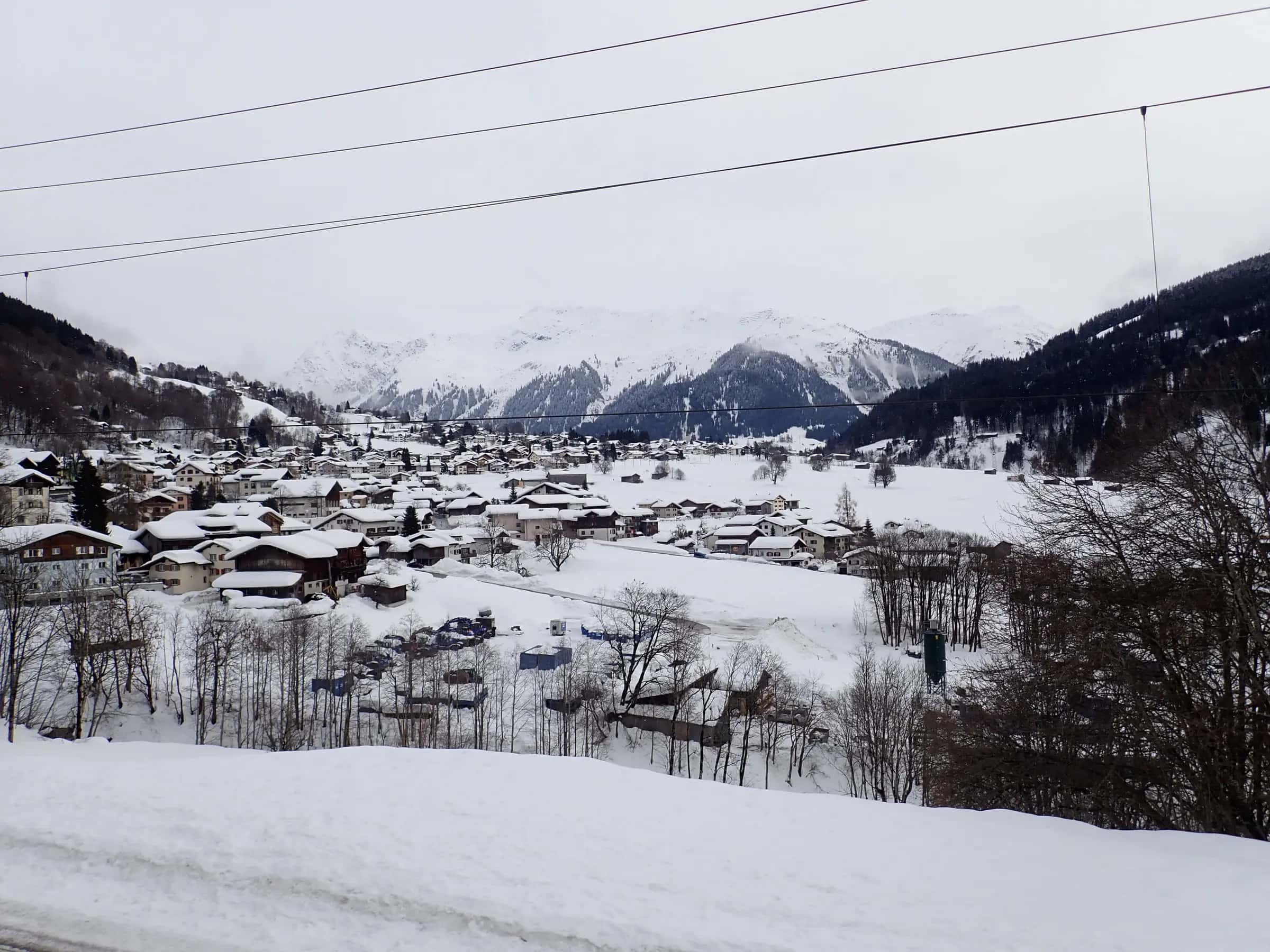
Photo: Elgaard via Wikimedia Commons · CC BY-SA 4.0
- Piste network
- 75 km46.4 mi
- Lifts
- 20
- Top elevation
- 2,612 m8,570 ft
- Ski area
- Davos Klosters
Family score
- 3.3Family
| Fact | Value |
|---|---|
| Village elevation | 1,179 m |
| Beginner score | 3.1 /10 |
| Drive time from the main airport | 133 min |
Facilities
| Fact | Value |
|---|---|
| Childcare facilities | 0 |
| Pools | 0 |
| Ski schools | 0 |
Tips for families
- Klosters scores 3.3/10 for families.
- 17% of the piste network is green or blue, the easiest classification.
- The village sits at 1179 m.
Easy pistes
| Piste | Difficulty | Length | Vertical |
|---|---|---|---|
| 4 | Blue | 4,004 m13,140 ft | 629 m2,060 ft |
| Gruobenalp | Blue | 1,650 m5,410 ft | 278 m910 ft |
| Furkastrasse | Blue | 1,124 m3,690 ft | 170 m560 ft |
| Verbindungsweg | Blue | 1,013 m3,320 ft | 14 m50 ft |
| 3 | Blue | 899 m2,950 ft | 103 m340 ft |
| 3a | Blue | 522 m1,710 ft | 65 m210 ft |
| 3b | Blue | 514 m1,690 ft | 78 m260 ft |
14 unnamed connecting sections, 3 km1.8 mi.
Frequently asked questions
Why does Klosters score 3.3/10 for families?
The three inputs that move the score most are Village elevation 1,179 m, Beginner score 3.1 /10 and Drive time from the main airport 133 min.
Is there childcare in Klosters?
0 childcare providers are listed in OpenStreetMap for Klosters.
How many ski schools are there in Klosters?
0.
How much of Klosters is easy skiing?
17% of the piste km we measure is green or blue.
How high is the village in Klosters?
1,179 m, with lifts to 2,612 m.
Are there magic carpets in Klosters?
2 magic carpets are mapped in Klosters.
How far is Klosters from Bodensee Friedrichshafen airport?
Bodensee Friedrichshafen is about 122 minutes by road from Klosters (92 km).
How high is Klosters?
The highest lift-served point is 2,612 m, with the village at 1,179 m, a vertical of 1,615 m.
Related pages
Data updated · Sources: OpenStreetMap contributors (ODbL)