Saalbach-Hinterglemm Snow Forecast
Saalbach-Hinterglemm is forecast to get 0 cm of snow over the next 72 hours and 23.4 cm over the next 7 days at the top, with the freezing level at 2,480 m and 0 cm of snow on the upper slopes. Best day to ski this week: Monday 2 November.
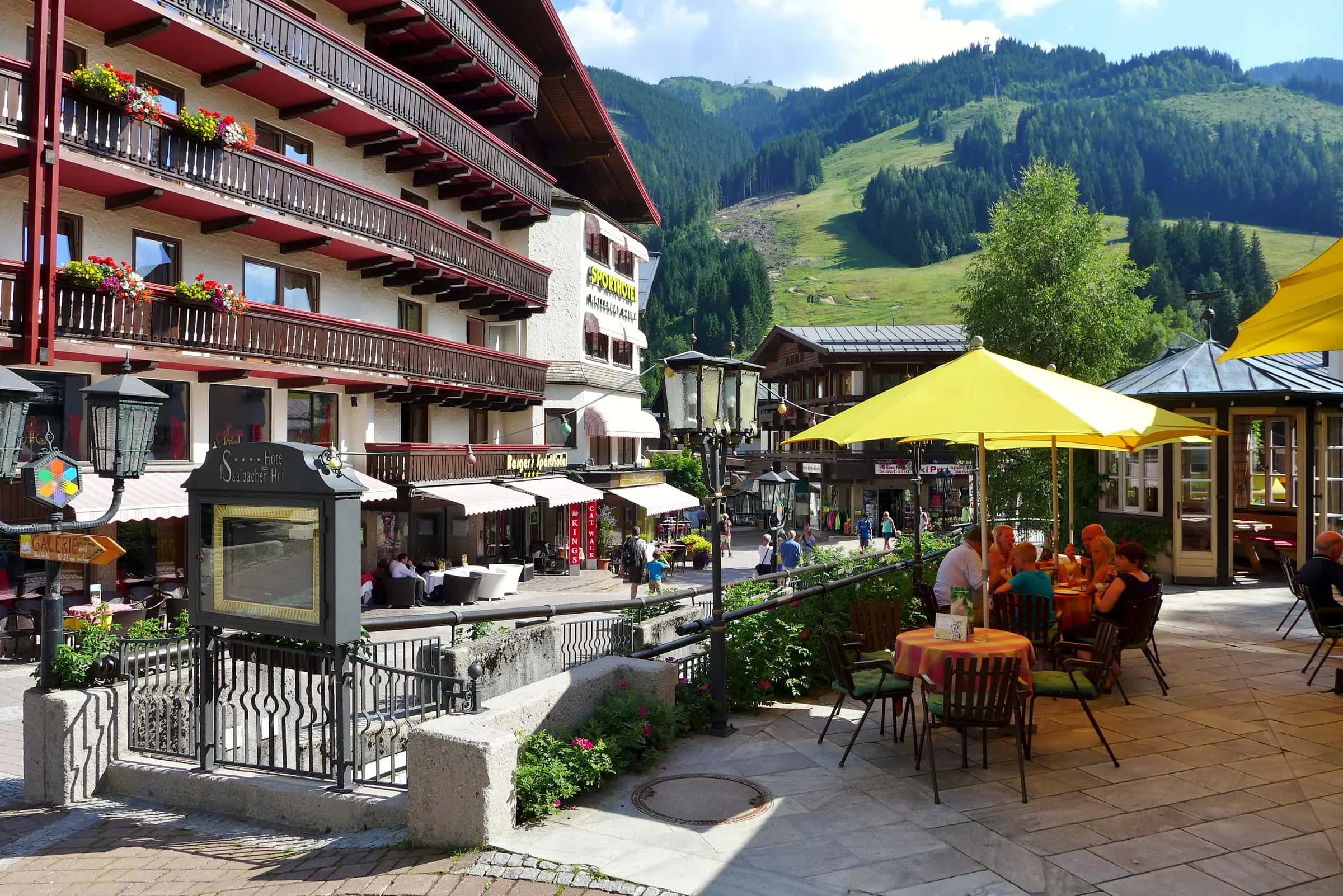
Photo: Bahnfrend via Wikimedia Commons · CC BY-SA 4.0
Snow at Saalbach-Hinterglemm: fallen and coming
First snow forecast: 1 cm at the top on Saturday, snow down to 1,510 m.
Day by day
Snow at the top0 cm0.0 inHigh / low at the top6 °C42 °F-1 °C31 °F
3-hourly detail for Wednesday 28 October Snow at the top 0 cm0.0 in 0 cm0.0 in 0 cm0.0 in 0 cm0.0 in Temperature at the top 6 °C42 °F 3 °C37 °F 1 °C34 °F 0 °C32 °F Temperature in the village 14 °C56 °F 11 °C51 °F 9 °C48 °F 8 °C46 °F Freezing level 2,600 m8,530 ft 2,480 m8,140 ft 2,210 m7,250 ft 2,010 m6,590 ft Wind at the top 10 km/h6 mph 12 km/h8 mph 9 km/h6 mph 8 km/h5 mph Snow at the top0 cm0.0 inHigh / low at the top1 °C34 °F-2 °C28 °F
3-hourly detail for Thursday 29 October Snow at the top 0 cm0.0 in 0 cm0.0 in 0 cm0.0 in 0 cm0.0 in 0 cm0.0 in 0 cm0.0 in 0 cm0.0 in 0 cm0.0 in Temperature at the top -1 °C31 °F -1 °C30 °F -2 °C29 °F -1 °C30 °F 1 °C33 °F 1 °C33 °F -1 °C30 °F -2 °C29 °F Temperature in the village 7 °C45 °F 6 °C44 °F 5 °C41 °F 6 °C44 °F 9 °C49 °F 9 °C49 °F 7 °C45 °F 6 °C42 °F Freezing level 1,910 m6,270 ft 1,920 m6,300 ft 1,800 m5,910 ft 1,760 m5,770 ft 1,860 m6,100 ft 1,920 m6,300 ft 1,910 m6,270 ft 1,890 m6,200 ft Wind at the top 6 km/h3 mph 6 km/h4 mph 5 km/h3 mph 2 km/h1 mph 5 km/h3 mph 5 km/h3 mph 2 km/h1 mph 5 km/h3 mph Snow at the top0 cm0.0 inHigh / low at the top3 °C37 °F-3 °C27 °F
3-hourly detail for Friday 30 October Snow at the top 0 cm0.0 in 0 cm0.0 in 0 cm0.0 in 0 cm0.0 in 0 cm0.0 in 0 cm0.0 in 0 cm0.0 in 0 cm0.0 in Temperature at the top -2 °C28 °F -2 °C28 °F -3 °C27 °F -1 °C29 °F 2 °C35 °F 2 °C36 °F 0 °C31 °F -2 °C29 °F Temperature in the village 5 °C40 °F 3 °C38 °F 3 °C38 °F 6 °C42 °F 11 °C51 °F 11 °C52 °F 7 °C45 °F 6 °C42 °F Freezing level 1,870 m6,140 ft 1,910 m6,270 ft 1,830 m6,000 ft 1,975 m6,480 ft 2,190 m7,190 ft 2,090 m6,860 ft 2,140 m7,020 ft 2,100 m6,890 ft Wind at the top 5 km/h3 mph 5 km/h3 mph 4 km/h2 mph 5 km/h3 mph 4 km/h3 mph 4 km/h3 mph 4 km/h3 mph 2 km/h1 mph Snow at the top1 cm0.6 inHigh / low at the top0 °C32 °F-4 °C25 °F
3-hourly detail for Saturday 31 October Snow at the top 0 cm0.0 in 0 cm0.0 in 0 cm0.0 in 0 cm0.0 in 0 cm0.0 in 0 cm0.0 in <1 cm<0.4 in 1 cm0.5 in Temperature at the top -2 °C29 °F -2 °C28 °F -3 °C27 °F -2 °C28 °F 0 °C31 °F -1 °C31 °F -3 °C28 °F -4 °C26 °F Temperature in the village 5 °C41 °F 5 °C40 °F 4 °C39 °F 5 °C41 °F 8 °C46 °F 8 °C46 °F 6 °C42 °F 4 °C40 °F Freezing level 1,920 m6,300 ft 1,810 m5,940 ft 1,610 m5,280 ft 1,530 m5,020 ft 1,590 m5,220 ft 1,650 m5,410 ft 1,570 m5,150 ft 1,480 m4,860 ft Wind at the top 1 km/h0 mph 2 km/h1 mph 4 km/h2 mph 4 km/h3 mph 7 km/h4 mph 7 km/h4 mph 7 km/h5 mph 8 km/h5 mph Snow at the top11 cm4.3 inHigh / low at the top-4 °C25 °F-6 °C21 °F
3-hourly detail for Sunday 1 November Snow at the top 2 cm0.8 in 2 cm0.6 in 2 cm0.7 in 1 cm0.6 in 1 cm0.5 in 1 cm0.4 in <1 cm<0.4 in 1 cm0.4 in Temperature at the top -4 °C25 °F -5 °C24 °F -5 °C23 °F -5 °C23 °F -5 °C23 °F -5 °C23 °F -6 °C22 °F -6 °C22 °F Temperature in the village 3 °C37 °F 3 °C37 °F 2 °C36 °F 3 °C37 °F 3 °C38 °F 4 °C38 °F 3 °C37 °F 2 °C36 °F Freezing level 1,300 m4,270 ft 1,230 m4,040 ft 1,180 m3,870 ft 1,140 m3,740 ft 1,150 m3,770 ft 1,220 m4,000 ft 1,180 m3,870 ft 1,150 m3,770 ft Wind at the top 9 km/h5 mph 9 km/h6 mph 9 km/h5 mph 9 km/h5 mph 7 km/h5 mph 7 km/h4 mph 7 km/h4 mph 6 km/h4 mph BestSnow at the top6 cm2.3 inHigh / low at the top-6 °C22 °F-7 °C19 °F
3-hourly detail for Monday 2 November Snow at the top <1 cm<0.4 in 1 cm0.4 in 1 cm0.4 in 1 cm0.4 in <1 cm<0.4 in <1 cm<0.4 in <1 cm<0.4 in <1 cm<0.4 in Temperature at the top -6 °C21 °F -6 °C21 °F -7 °C20 °F -6 °C21 °F -6 °C22 °F -6 °C21 °F -7 °C20 °F -7 °C19 °F Temperature in the village 2 °C36 °F 2 °C35 °F 2 °C35 °F 2 °C36 °F 2 °C36 °F 2 °C36 °F 1 °C35 °F 1 °C34 °F Freezing level 1,140 m3,740 ft 1,130 m3,710 ft 1,145 m3,760 ft 1,190 m3,900 ft 1,210 m3,970 ft 1,190 m3,900 ft 1,160 m3,810 ft 1,140 m3,740 ft Wind at the top 6 km/h4 mph 6 km/h4 mph 9 km/h5 mph 14 km/h9 mph 14 km/h9 mph 14 km/h9 mph 12 km/h7 mph 9 km/h6 mph Snow at the top5 cm2.1 inHigh / low at the top-4 °C25 °F-7 °C19 °F
3-hourly detail for Tuesday 3 November Snow at the top <1 cm<0.4 in <1 cm<0.4 in <1 cm<0.4 in 1 cm0.4 in 1 cm0.4 in <1 cm<0.4 in <1 cm<0.4 in <1 cm<0.4 in Temperature at the top -7 °C19 °F -7 °C19 °F -7 °C20 °F -6 °C21 °F -5 °C24 °F -4 °C24 °F -5 °C24 °F -4 °C24 °F Temperature in the village 1 °C34 °F 1 °C34 °F 1 °C34 °F 2 °C35 °F 2 °C36 °F 2 °C36 °F 2 °C35 °F 1 °C35 °F Freezing level 1,140 m3,740 ft 1,130 m3,710 ft 1,120 m3,670 ft 1,160 m3,810 ft 1,210 m3,970 ft 1,210 m3,970 ft 1,180 m3,870 ft 1,150 m3,770 ft Wind at the top 8 km/h5 mph 7 km/h5 mph 7 km/h5 mph 8 km/h5 mph 9 km/h6 mph 9 km/h6 mph 7 km/h4 mph 6 km/h3 mph - Days 8 to 14, lower confidence
- Snow at the top0 cm0.0 inHigh / low at the top4 °C38 °F-7 °C19 °F
- Snow at the top0 cm0.0 inHigh / low at the top1 °C34 °F-8 °C17 °F
- Snow at the top6 cm2.2 inHigh / low at the top0 °C31 °F-6 °C22 °F
- Snow at the top0 cm0.0 inHigh / low at the top5 °C42 °F-6 °C22 °F
- Snow at the top0 cm0.0 inHigh / low at the top6 °C42 °F-5 °C23 °F
- Snow at the top0 cm0.0 inHigh / low at the top5 °C41 °F-5 °C23 °F
- Snow at the top0 cm0.0 inHigh / low at the top7 °C45 °F-4 °C25 °F
Days 8 to 14: 6 cm at the top in total. Lower confidence than the first week; wind for those days is the all-day maximum.
Snow line and freezing level
Freezing level 2,600 m8,530 ft at midday today. Above the top station: rain possible on all slopes.
- Freezing level
- Base elevation
- Top elevation
Snow on the ground
- Top depth
- 0 cm0 in
- Base depth
- 0 cm0 in
- Last snowfall
- -
Modelled depth (Open-Meteo), not measured by the resort.
- Base depth
- Top depth
What's normal for this month
Mid-mountain averages
| Month | October | November |
|---|---|---|
| Mean snowfall | 12 cm5 in | 44 cm17 in |
| Mean depth | 2 cm1 in | 12 cm5 in |
See the full snow history for Saalbach-Hinterglemm.
Snow alerts
Get an email when the forecast for Saalbach-Hinterglemm crosses the amount of snow you care about. Pick the depth, the window and the elevation; stop the alert from any email in one click.
Frequently asked questions
How much snow is forecast for Saalbach-Hinterglemm in the next 3 days?
0 cm at the top station over the next 72 hours, from the Open-Meteo model run shown above.
How much snow will Saalbach-Hinterglemm get this week?
23.4 cm at the top station over the next seven days.
Where is the freezing level in Saalbach-Hinterglemm today?
2,480 m at midday, against a base at 788 m and a top station at 2,086 m.
What is the best day to ski in Saalbach-Hinterglemm this week?
Monday 2 November: top-station wind 14 km/h, visibility 21040 m. The ranking uses fresh snow, wind, visibility, cloud and rain from the hourly forecast.
How deep is the snow at the top of Saalbach-Hinterglemm compared with the base?
0 cm at the top and 0 cm at the base, modelled from Open-Meteo rather than measured by the resort.
Is it snowing in Saalbach-Hinterglemm now?
0 cm has fallen in the last 24 hours.
Where does this forecast come from?
Open-Meteo, sampled at the village, mid-mountain and the top station for Saalbach-Hinterglemm and refreshed hourly.
How far is Saalbach-Hinterglemm from Salzburg airport?
Salzburg is about 115 minutes by road from Saalbach-Hinterglemm (53.4 km).
Related pages
Data updated · Sources: Open-MeteoDepth is modelled, not measured by the resort.