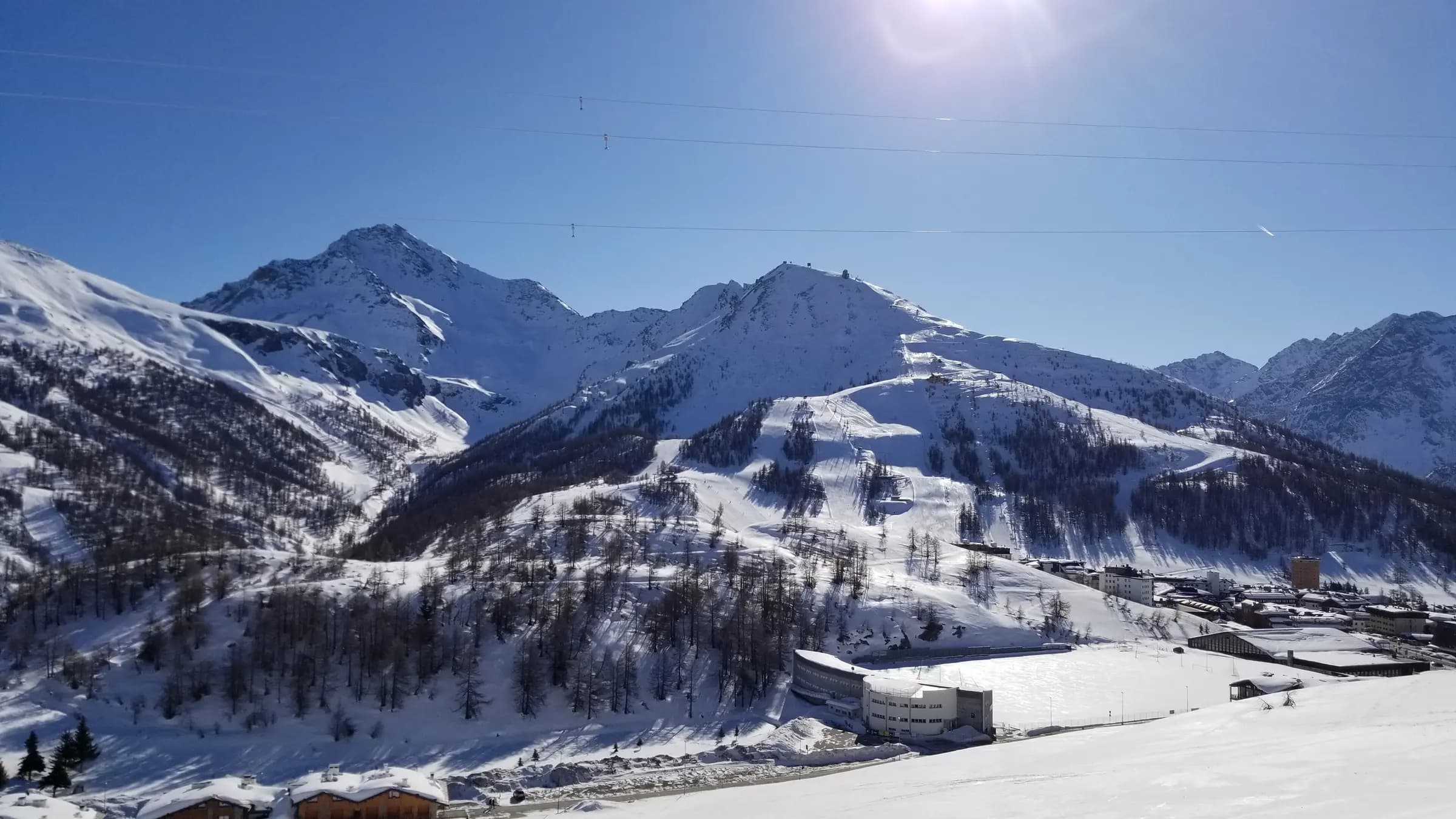
 27 places to stay
Stay a little closer.
Find your mountain base in Sestriere. Browse listed places to stay and plan around your favourite lifts.
Find your Sestriere basePhoto: Smt42 via Wikimedia Commons · CC BY-SA 4.0
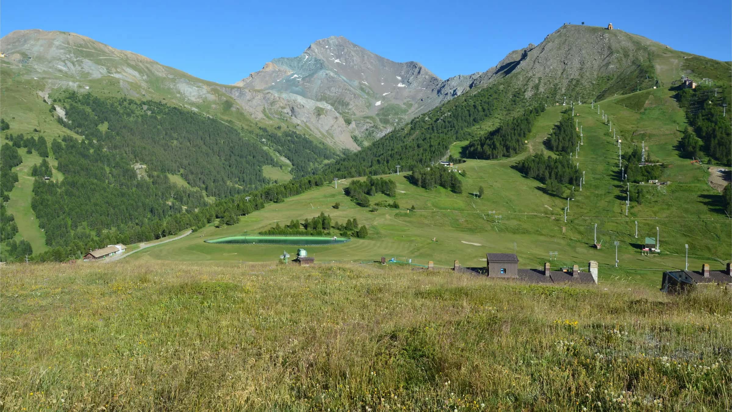
Sestriere is a ski resort in Italy, part of Via Lattea, with 69.5 km of pistes and 24 lifts. The nearest airport is Turin, about 94 minutes by road.
Photo: SlimMars 13 via Pexels · Pexels License
Meet your next favourite place
Sestriere sits at 2,035 m in Italy. The resort is part of Via Lattea, which links 127.4 km of pistes in total. Sestriere itself has 69.5 km of marked piste over 75 runs: 0 km green, 31 km blue, 25.2 km red and 11.2 km black. The longest single run we measure is 4.8 km.
24 lifts serve the slopes (1 gondolas and cable cars, 9 chairlifts and 9 drag lifts), moving about 8,240 skiers an hour. The resort has a snowpark. The nearest airport is Turin, about 94 minutes by road (66.4 km). In the village we list 27 places to stay, 27 restaurants and 1 ski schools.
Resort scores
Not yet scored
Not yet scored
Scores compare mountain facts and facilities; guest reviews are shown separately. Select a score to see its explanation. How we score resorts ↗
Snow forecast
A recent upper-mountain daily forecast is unavailable. Check the detailed forecast for other available elevations and update times.
Get a heads-up when fresh snow is heading for Sestriere.
Piste map & terrain
An official piste map is not available here yet.
Lift passes
Verified pass prices are not available here yet. Check the official operator for dates, coverage and prices.
Mountain webcams
A camera feed is not available here yet.
Cameras open on demand. Feed availability and refresh times depend on the provider.
Less admin. More Alpine.
Your mountain base, your kit, your first turns. Get the good bits sorted.
27 places to stayFind your mountain base in Sestriere. Browse listed places to stay and plan around your favourite lifts.
Find your Sestriere basePhoto: Smt42 via Wikimedia Commons · CC BY-SA 4.0
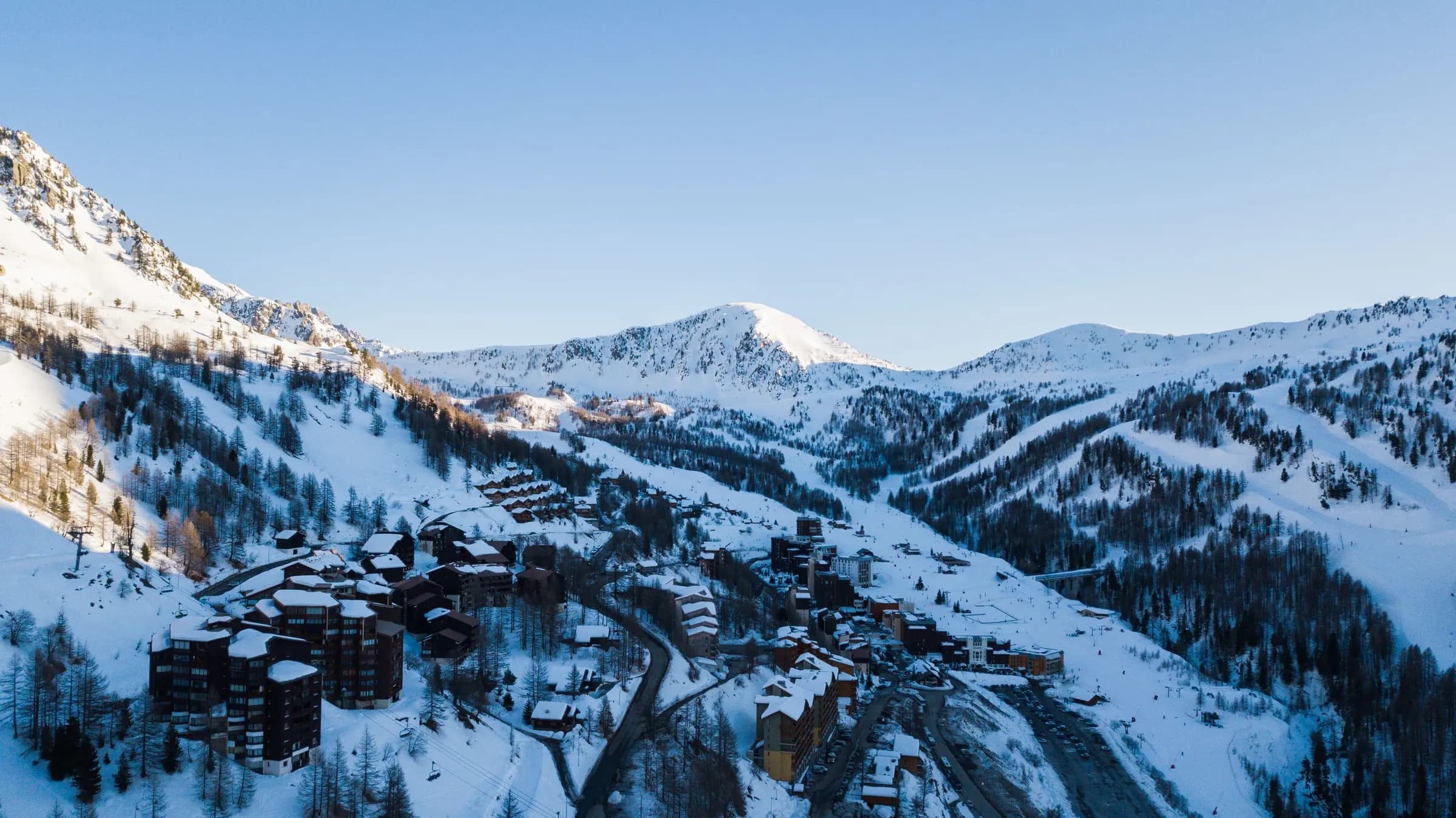 0 ski hire shops
Find local ski hire, compare the shops and get the details sorted before your first lift.
A detailed guide is not available yet.
Photo: Gaetan THURIN via Pexels · Pexels License
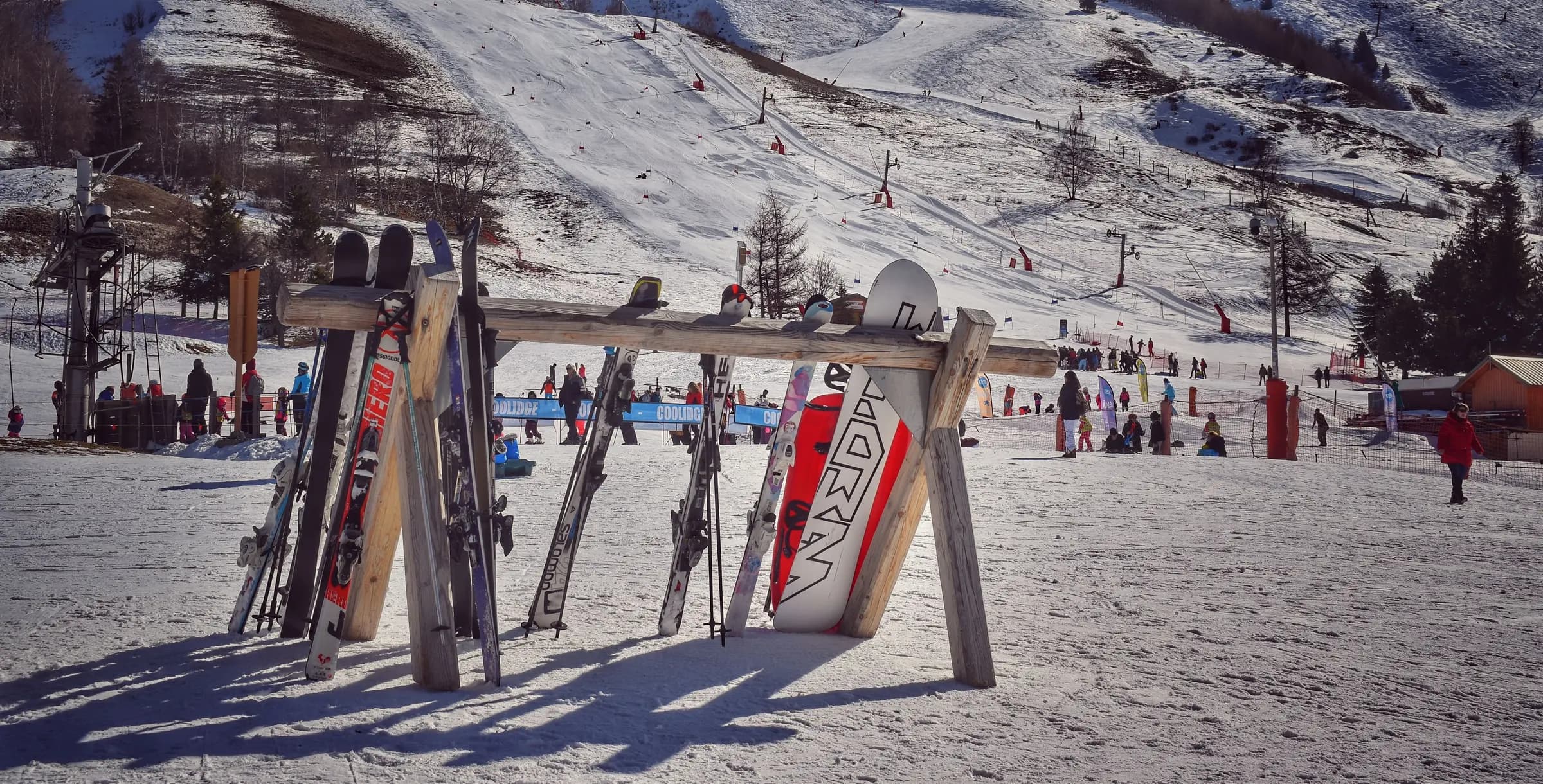 1 ski schools
First turns or a little extra confidence. Find local ski schools and contact them about the right lesson.
A detailed guide is not available yet.
Photo: ERIC POUSSIN via Pexels · Pexels License
In the village
Listed amenities from OpenStreetMap. Pools and spas may be within private hotels; check access with the operator.
Useful links
Getting there
| Airport | Distance | Drive time |
|---|---|---|
| Turin | 66.4 km | 94 min |
| Chambéry Aix les Bains | 108.8 km | 118 min |
| Grenoble Alpes Isère | 129.9 km | 162 min |
From the ski journal
Ideas for the trip. Stories for the way home.
No stories to show yet. Explore our resort guides for mountain facts, forecasts and trip planning.
Find a resort guideExplore near Sestriere
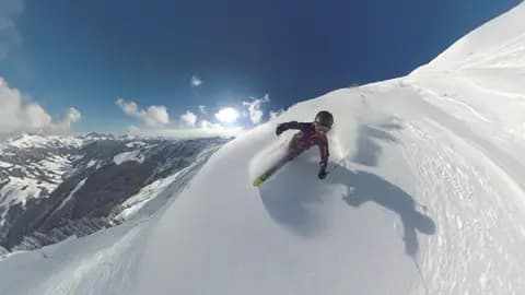 Top lift 2,467 m8,090 ft
Italy / Via Lattea
Pistes 58 km36.0 mi
Explore resort80 min80 min from Turin
Photo: Flo Maderebner via Pexels · Pexels License
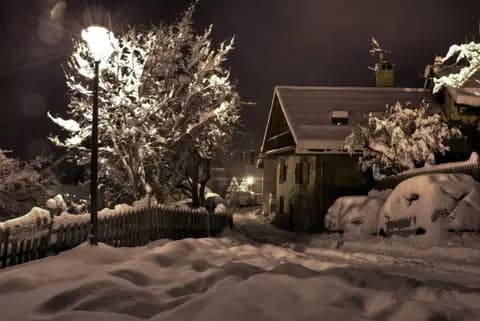 Top lift 2,769 m9,080 ft
France / Serre Chevalier Vallée
Pistes 150 km93.4 mi
Explore resort124 min124 min from Turin
Photo: robmcm via Wikimedia Commons · CC BY-SA 2.0
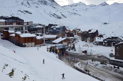 Top lift 3,211 m10,530 ft
France / Les 3 Vallées
Pistes 160 km99.4 mi
Explore resort148 min148 min from Lyon Saint-Exupéry
Photo: DimiTalen via Wikimedia Commons · CC0
Guest reviews
No reviews yet — be the first to write one.
Sign in to write a review.
A few useful answers
The things to know before your trip to Sestriere.
Turin is about 94 minutes by road from Sestriere (66.4 km).
Sestriere has 69.5 km of marked pistes across 75 runs, measured from OpenStreetMap geometry.
24 lifts (1 gondola or cable car, 9 chairlifts and 9 drag lifts).
Sestriere is part of Via Lattea.
There is no station in the resort itself; the last leg is by road from Turin.
Sestriere scores 4.7/10 for beginners; 0% of its piste km is green and we list 1 ski school.
Sestriere scores 4.3/10 for families, with 1 childcare provider listed and 44.6% of its pistes green or blue.
0 cm at the base. These depths are modelled from Open-Meteo, not measured by the resort.
Data updated · Sources: OpenStreetMap contributors (ODbL)