Montgenèvre Piste Map 2026/27
The official Montgenèvre piste map for 2026/27 is published by the resort (link below); every lift and run is listed here: 69.9 km of pistes (7 green, 15 blue, 20 red, 13 black) and 24 lifts.
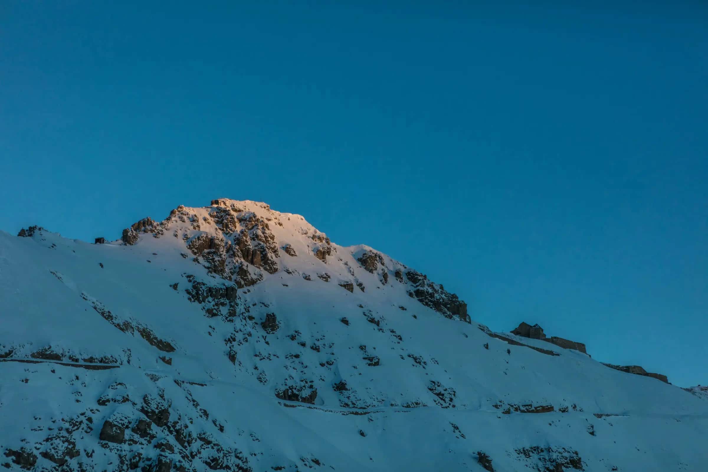
Photo: Go Montgenevre via Unsplash · Unsplash License
Piste map
Lifts
| Lift | Type | Bottom → top | Length | Capacity/h |
|---|---|---|---|---|
| Alp | J-bar | 2,227 m7,310 ft → 2,429 m7,970 ft | 880 m2,890 ft | 900 |
| Alpet | Drag lift | 2,116 m6,940 ft → 2,446 m8,020 ft | 1,905 m6,250 ft | - |
| Brousset | Chairlift | 1,909 m6,260 ft → 2,143 m7,030 ft | 1,080 m3,540 ft | 2,000 |
| Chalmettes | Mixed lift | 1,823 m5,980 ft → 2,173 m7,130 ft | 1,729 m5,670 ft | - |
| Chalvet | Chairlift | 2,142 m7,030 ft → 2,573 m8,440 ft | 1,327 m4,350 ft | 670 |
| Clot | Drag lift | 1,842 m6,040 ft → 1,873 m6,150 ft | 389 m1,280 ft | 900 |
| Col | J-bar | 1,850 m6,070 ft → 1,868 m6,130 ft | 190 m620 ft | 600 |
| Crête | Chairlift | 2,209 m7,250 ft → 2,440 m8,010 ft | 542 m1,780 ft | 1,400 |
| Durance | J-bar | 1,795 m5,890 ft → 1,904 m6,250 ft | 838 m2,750 ft | 420 |
| Gondrans | Chairlift | 2,216 m7,270 ft → 2,421 m7,940 ft | 1,024 m3,360 ft | 2,400 |
| Gondrans | Chairlift | 2,095 m6,870 ft → 2,216 m7,270 ft | 873 m2,860 ft | 2,400 |
| Jardin d'Enfants | Magic carpet | 1,849 m6,070 ft → 1,858 m6,100 ft | 83 m270 ft | - |
| Montquitaine | Chairlift | 1,855 m6,090 ft → 2,014 m6,610 ft | 385 m1,260 ft | 1,800 |
| Obélisque | Drag lift | 1,873 m6,150 ft → 1,896 m6,220 ft | 160 m520 ft | 850 |
| Obélisque | Magic carpet | 1,877 m6,160 ft → 1,896 m6,220 ft | 66 m220 ft | - |
| Observatoire | Chairlift | 2,078 m6,820 ft → 2,384 m7,820 ft | 1,304 m4,280 ft | 1,800 |
| Piou Piou | Magic carpet | 1,865 m6,120 ft → 1,876 m6,150 ft | 27 m90 ft | - |
| Prarial | Chairlift | 1,844 m6,050 ft → 2,031 m6,660 ft | 583 m1,910 ft | 2,100 |
| Querelay | J-bar | 2,094 m6,870 ft → 2,370 m7,780 ft | 1,304 m4,280 ft | 600 |
| Rocher de l'Aigle | Gondola | 2,172 m7,130 ft → 2,558 m8,390 ft | 1,749 m5,740 ft | 2,200 |
| Rocher Rouge | Chairlift | 2,159 m7,080 ft → 2,430 m7,970 ft | 825 m2,710 ft | 1,200 |
| TCD 6 Chalvet | Gondola | 1,858 m6,100 ft → 2,142 m7,030 ft | 970 m3,180 ft | 1,060 |
| TMX Serre Thibaud | Mixed lift | 1,825 m5,990 ft → 2,507 m8,230 ft | 2,382 m7,810 ft | 1,500 |
| Tremplin | Chairlift | 1,815 m5,950 ft → 2,049 m6,720 ft | 985 m3,230 ft | 1,956 |
Pistes
Green (7)
| Piste | Difficulty | Length | Vertical | Top elevation |
|---|---|---|---|---|
| Le Lac | Green | 2,340 m7,680 ft | 239 m780 ft | 2,083 m6,830 ft |
| Suffin | Green | 2,259 m7,410 ft | 208 m680 ft | 2,142 m7,030 ft |
| Sagnes | Green | 2,206 m7,240 ft | 332 m1,090 ft | 2,434 m7,990 ft |
| 99 Golf | Green | 1,101 m3,610 ft | 46 m150 ft | 1,810 m5,940 ft |
| La Crête | Green | 1,083 m3,550 ft | 89 m290 ft | 2,184 m7,170 ft |
| Le Bois | Green | 1,017 m3,340 ft | 107 m350 ft | 2,049 m6,720 ft |
| La Durance | Green | 358 m1,170 ft | 28 m90 ft | 1,823 m5,980 ft |
Blue (15)
| Piste | Difficulty | Length | Vertical | Top elevation |
|---|---|---|---|---|
| Pharo | Blue | 4,583 m15,040 ft | 697 m2,290 ft | 2,507 m8,230 ft |
| Baïsses | Blue | 2,839 m9,310 ft | 366 m1,200 ft | 2,269 m7,440 ft |
| Les Poussins | Blue | 2,403 m7,880 ft | 301 m990 ft | 2,384 m7,820 ft |
| La Vallon | Blue | 1,965 m6,450 ft | 253 m830 ft | 2,063 m6,770 ft |
| Ch. du Rocher Rouge | Blue | 1,902 m6,240 ft | 280 m920 ft | 2,439 m8,000 ft |
| Pré Charé | Blue | 1,431 m4,690 ft | 287 m940 ft | 2,370 m7,780 ft |
| Le Sentier | Blue | 1,045 m3,430 ft | 79 m260 ft | 2,288 m7,510 ft |
| Chenaillet | Blue | 743 m2,440 ft | 180 m590 ft | 2,173 m7,130 ft |
| Montquitaine | Blue | 598 m1,960 ft | 175 m570 ft | 2,030 m6,660 ft |
| La Treversée | Blue | 570 m1,870 ft | 100 m330 ft | 2,189 m7,180 ft |
| Alpet | Blue | 525 m1,720 ft | 73 m240 ft | 2,446 m8,020 ft |
| Reservoir | Blue | 481 m1,580 ft | 75 m250 ft | 2,410 m7,910 ft |
| 99 | Blue | 353 m1,160 ft | 49 m160 ft | 1,813 m5,950 ft |
| Col | Blue | 209 m690 ft | 18 m60 ft | 1,868 m6,130 ft |
| Les Rhodos | Blue | 36 m120 ft | 46 m150 ft | 2,189 m7,180 ft |
Red (20)
| Piste | Difficulty | Length | Vertical | Top elevation |
|---|---|---|---|---|
| Souréous | Red | 2,608 m8,560 ft | 449 m1,470 ft | 2,558 m8,390 ft |
| Combe du Loup | Red | 1,666 m5,470 ft | 431 m1,410 ft | 2,573 m8,440 ft |
| Chalvet | Red | 1,519 m4,980 ft | 404 m1,330 ft | 2,573 m8,440 ft |
| Barral | Red | 1,138 m3,730 ft | 204 m670 ft | 2,298 m7,540 ft |
| Les Prés | Red | 1,125 m3,690 ft | 202 m660 ft | 2,421 m7,940 ft |
| Mandarine | Red | 812 m2,660 ft | 186 m610 ft | 2,031 m6,660 ft |
| 99 bis bassa | Red | 786 m2,580 ft | 72 m240 ft | 1,877 m6,160 ft |
| Le Querelay | Red | 741 m2,430 ft | 177 m580 ft | 2,384 m7,820 ft |
| La Doire | Red | 716 m2,350 ft | 140 m460 ft | 2,049 m6,720 ft |
| Les Sources | Red | 709 m2,330 ft | 168 m550 ft | 2,421 m7,940 ft |
| Prarial | Red | 675 m2,210 ft | 186 m610 ft | 2,031 m6,660 ft |
| 99 bis alta | Red | 671 m2,200 ft | 135 m440 ft | 2,012 m6,600 ft |
| 99 tris | Red | 531 m1,740 ft | 110 m360 ft | 1,877 m6,160 ft |
| 100 alta bis | Red | 519 m1,700 ft | 51 m170 ft | 2,529 m8,300 ft |
| Office | Red | 517 m1,700 ft | 106 m350 ft | 1,956 m6,420 ft |
| Envers | Red | 421 m1,380 ft | 133 m440 ft | 1,998 m6,560 ft |
| Les Chamois | Red | 300 m980 ft | 42 m140 ft | 2,440 m8,010 ft |
| La Jauffret | Red | 245 m800 ft | 55 m180 ft | 2,033 m6,670 ft |
| Marmottes | Red | 203 m670 ft | 72 m240 ft | 2,455 m8,050 ft |
| Chauvet | Red | 127 m420 ft | 37 m120 ft | 1,993 m6,540 ft |
Black (13)
| Piste | Difficulty | Length | Vertical | Top elevation |
|---|---|---|---|---|
| Les Rhodos | Black | 1,125 m3,690 ft | 280 m920 ft | 2,189 m7,180 ft |
| Tetras | Black | 1,012 m3,320 ft | 319 m1,050 ft | 2,478 m8,130 ft |
| Chaberton | Black | 902 m2,960 ft | 280 m920 ft | 2,439 m8,000 ft |
| 99 alta | Black | 800 m2,620 ft | 190 m620 ft | 2,003 m6,570 ft |
| 3 Fournéous | Black | 718 m2,360 ft | 287 m940 ft | 2,597 m8,520 ft |
| La Reserve | Black | 630 m2,070 ft | 231 m760 ft | 2,440 m8,010 ft |
| Tremplin | Black | 505 m1,660 ft | 134 m440 ft | 1,970 m6,460 ft |
| Trois Scies | Black | 413 m1,350 ft | 170 m560 ft | 2,439 m8,000 ft |
| L’Observatoire | Black | 264 m870 ft | 72 m240 ft | 2,363 m7,750 ft |
| 100 | Black | 212 m700 ft | 46 m150 ft | 2,558 m8,390 ft |
| Chauvet | Black | 201 m660 ft | 44 m140 ft | 1,956 m6,420 ft |
| Montquitaine | Black | 136 m450 ft | 49 m160 ft | 2,000 m6,560 ft |
| 3 Fourneous | Black | 84 m280 ft | 21 m70 ft | 2,310 m7,580 ft |
Freeride (6)
| Piste | Difficulty | Length | Vertical | Top elevation |
|---|---|---|---|---|
| Valle dei Mandarini | Freeride | 2,573 m8,440 ft | 575 m1,890 ft | 2,494 m8,180 ft |
| Boardercross | Unclassified | 1,097 m3,600 ft | 147 m480 ft | 2,436 m7,990 ft |
| Itinéraire Hors Piste La Durance non balisé | Freeride | 915 m3,000 ft | 116 m380 ft | 2,219 m7,280 ft |
| Montquitaine | Freeride | 629 m2,060 ft | 44 m140 ft | 1,855 m6,090 ft |
| La Combe | Freeride | 532 m1,750 ft | 135 m440 ft | 2,481 m8,140 ft |
| Plein Soleil | Freeride | 339 m1,110 ft | 44 m140 ft | 1,855 m6,090 ft |
69 unnamed connecting sections, 17 km10.6 mi.
Ski area map
Frequently asked questions
How many runs of each colour does Montgenèvre have?
7 green, 15 blue, 20 red and 13 black, 60 in total.
What is the longest run in Montgenèvre?
The longest single marked run we measure is 4.6 km.
What are the hardest runs in Montgenèvre?
The black runs we hold names for include Les Rhodos, Tetras, Chaberton, 99 alta and 3 Fournéous.
Where can I download the Montgenèvre piste map?
The resort publishes the current map itself; the link on this page goes straight to it, and the lift and piste tables below are generated from OpenStreetMap.
What kinds of lift does Montgenèvre have?
4 gondolas or cable cars, 10 chairlifts, 7 drag lifts and 3 magic carpets.
How far is Montgenèvre from Turin airport?
Turin is about 97 minutes by road from Montgenèvre (79 km).
How high is Montgenèvre?
The highest lift-served point is 2,573 m, with the village at 1,860 m, a vertical of 778 m.
How many km of pistes does Montgenèvre have?
Montgenèvre has 69.9 km of marked pistes across 60 runs, measured from OpenStreetMap geometry.
Related pages
Data updated · Sources: OpenStreetMap contributors (ODbL)