Obergurgl Piste Map 2026/27
The official Obergurgl piste map for 2026/27 is published by the resort (link below); every lift and run is listed here: 112 km of pistes (0 green, 33 blue, 17 red, 12 black) and 25 lifts.
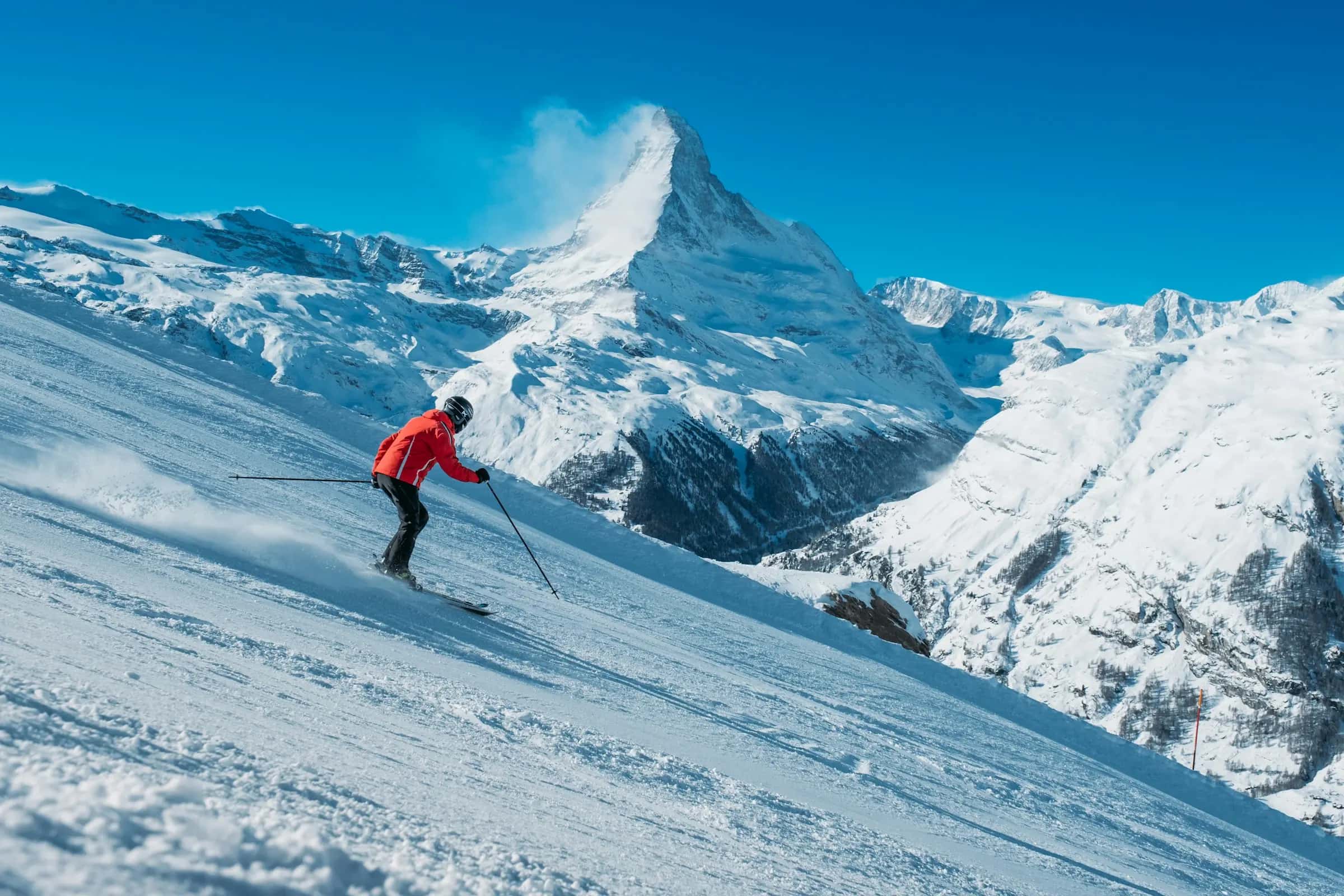
Photo: Patrick Robert Doyle via Unsplash · Unsplash License
Piste map
Lifts
| Lift | Type | Bottom → top | Length | Capacity/h |
|---|---|---|---|---|
| Bruggenbodenlift | Chairlift | 2,007 m6,580 ft → 2,117 m6,950 ft | 336 m1,100 ft | - |
| Festkoglbahn | Gondola | 1,910 m6,270 ft → 2,663 m8,740 ft | 2,063 m6,770 ft | - |
| Gipfellift | T-bar | 2,534 m8,310 ft → 2,678 m8,790 ft | 519 m1,700 ft | - |
| Große Karbahn | Chairlift | 2,144 m7,030 ft → 2,526 m8,290 ft | 1,017 m3,340 ft | - |
| Hochgurglbahn I | Gondola | 1,779 m5,840 ft → 2,144 m7,030 ft | 868 m2,850 ft | - |
| Hochgurglbahn II | Gondola | 2,144 m7,030 ft → 2,691 m8,830 ft | 2,170 m7,120 ft | - |
| Hohe Mut Bahn I | Gondola | 1,912 m6,270 ft → 2,047 m6,720 ft | 1,040 m3,410 ft | - |
| Hohe Mut Bahn II | Gondola | 2,047 m6,720 ft → 2,633 m8,640 ft | 1,354 m4,440 ft | - |
| Kirchenkarbahn I | Gondola | 2,153 m7,060 ft → 2,617 m8,590 ft | 1,488 m4,880 ft | 2,400 |
| Kirchenkarbahn II | Gondola | 2,617 m8,590 ft → 2,817 m9,240 ft | 513 m1,680 ft | - |
| Krumpwasserlift | T-bar | 2,161 m7,090 ft → 2,268 m7,440 ft | 518 m1,700 ft | - |
| Mahdstuhllift | Platter lift | 1,895 m6,220 ft → 1,925 m6,320 ft | 198 m650 ft | - |
| Plattachbahn I | Chairlift | 2,244 m7,360 ft → 2,557 m8,390 ft | 807 m2,650 ft | - |
| Plattachbahn II | Chairlift | 2,557 m8,390 ft → 2,866 m9,400 ft | 891 m2,920 ft | - |
| Roßkarbahn | Gondola | 1,912 m6,270 ft → 2,253 m7,390 ft | 664 m2,180 ft | - |
| Roßkarbahn | Gondola | 2,253 m7,390 ft → 2,653 m8,700 ft | 1,085 m3,560 ft | - |
| Snow Cab | Funicular | 2,003 m6,570 ft → 2,095 m6,870 ft | 289 m950 ft | - |
| Steinmannbahn | Chairlift | 1,965 m6,450 ft → 2,215 m7,270 ft | 760 m2,490 ft | - |
| Top-Express Obergurgl-Hochgurgl | Gondola | 2,303 m7,560 ft → 2,402 m7,880 ft | 3,615 m11,860 ft | - |
| Top Schermer 3000 | Gondola | 2,418 m7,930 ft → 2,910 m9,550 ft | 1,868 m6,130 ft | - |
| Top Wurmkoglbahn I | Chairlift | 2,416 m7,930 ft → 2,756 m9,040 ft | 2,039 m6,690 ft | - |
| Top Wurmkoglbahn II | Chairlift | 2,691 m8,830 ft → 2,979 m9,770 ft | 1,013 m3,320 ft | - |
| Vorderer Wurmkogllift I | T-bar | 1,998 m6,560 ft → 2,541 m8,340 ft | 1,499 m4,920 ft | - |
| Vorderer Wurmkogllift II | T-bar | 2,529 m8,300 ft → 2,664 m8,740 ft | 308 m1,010 ft | - |
| Wiesenlift | Platter lift | 1,914 m6,280 ft → 1,934 m6,350 ft | 210 m690 ft | - |
Pistes
Blue (26)
| Piste | Difficulty | Length | Vertical | Top elevation |
|---|---|---|---|---|
| 6 | Blue | 6,249 m20,500 ft | 1,119 m3,670 ft | 2,663 m8,740 ft |
| 41 | Blue | 2,750 m9,020 ft | 436 m1,430 ft | 2,526 m8,290 ft |
| Familienabfahrt | Blue | 2,134 m7,000 ft | 340 m1,120 ft | 2,395 m7,860 ft |
| 43 | Blue | 1,861 m6,110 ft | 377 m1,240 ft | 2,817 m9,240 ft |
| 4 | Blue | 1,760 m5,770 ft | 344 m1,130 ft | 2,215 m7,270 ft |
| 37 | Blue | 1,597 m5,240 ft | 217 m710 ft | 2,268 m7,440 ft |
| 6a | Blue | 1,551 m5,090 ft | 332 m1,090 ft | 2,866 m9,400 ft |
| 32 | Blue | 1,480 m4,860 ft | 238 m780 ft | 2,309 m7,580 ft |
| 36 | Blue | 1,410 m4,630 ft | 214 m700 ft | 2,402 m7,880 ft |
| 29 | Blue | 1,410 m4,630 ft | 214 m700 ft | 2,979 m9,770 ft |
| 38 | Blue | 1,337 m4,390 ft | 207 m680 ft | 2,606 m8,550 ft |
| 24 | Blue | 1,312 m4,300 ft | 293 m960 ft | 2,603 m8,540 ft |
| 22b | Blue | 925 m3,030 ft | 155 m510 ft | 2,329 m7,640 ft |
| Verbindung Mahdstudllift | Blue | 809 m2,650 ft | 146 m480 ft | 2,047 m6,720 ft |
| 10a | Blue | 739 m2,420 ft | 199 m650 ft | 2,501 m8,210 ft |
| 10 | Blue | 686 m2,250 ft | 116 m380 ft | 2,369 m7,770 ft |
| 26 | Blue | 658 m2,160 ft | 110 m360 ft | 2,795 m9,170 ft |
| 27 | Blue | 639 m2,100 ft | 78 m260 ft | 2,609 m8,560 ft |
| Skiweg Roßkar Mitte | Blue | 565 m1,850 ft | 50 m160 ft | 2,303 m7,560 ft |
| 31 | Blue | 499 m1,640 ft | 94 m310 ft | 2,526 m8,290 ft |
| 4a | Blue | 422 m1,380 ft | 80 m260 ft | 2,045 m6,710 ft |
| 23 | Blue | 314 m1,030 ft | 46 m150 ft | 2,525 m8,280 ft |
| Mahdstuhl | Blue | 211 m690 ft | 30 m100 ft | 1,925 m6,320 ft |
| 35 | Blue | 172 m560 ft | 45 m150 ft | 2,514 m8,250 ft |
| 26a | Blue | 48 m160 ft | 10 m30 ft | 2,765 m9,070 ft |
| 12a | Blue | 23 m80 ft | 0 m0 ft | 2,303 m7,560 ft |
Red (15)
| Piste | Difficulty | Length | Vertical | Top elevation |
|---|---|---|---|---|
| 12 | Red | 3,111 m10,210 ft | 981 m3,220 ft | 2,516 m8,250 ft |
| 33 | Red | 2,701 m8,860 ft | 512 m1,680 ft | 2,247 m7,370 ft |
| 30 | Red | 1,702 m5,580 ft | 422 m1,380 ft | 2,910 m9,550 ft |
| 1 | Red | 1,461 m4,790 ft | 418 m1,370 ft | 2,633 m8,640 ft |
| Verwall | Red | 1,344 m4,410 ft | 389 m1,280 ft | 2,570 m8,430 ft |
| Dorfmitte | Red | 1,313 m4,310 ft | 198 m650 ft | 2,253 m7,390 ft |
| 21 | Red | 1,092 m3,580 ft | 334 m1,100 ft | 2,664 m8,740 ft |
| 42 | Red | 959 m3,150 ft | 286 m940 ft | 2,617 m8,590 ft |
| 3 | Red | 929 m3,050 ft | 167 m550 ft | 2,215 m7,270 ft |
| 5 | Red | 916 m3,010 ft | 259 m850 ft | 2,215 m7,270 ft |
| Hohe Mut | Red | 865 m2,840 ft | 436 m1,430 ft | 2,558 m8,390 ft |
| Plattach | Red | 818 m2,680 ft | 240 m790 ft | 2,866 m9,400 ft |
| Skiweg Hohe Mut | Red | 619 m2,030 ft | 125 m410 ft | 2,311 m7,580 ft |
| 44 | Red | 462 m1,520 ft | 186 m610 ft | 2,677 m8,780 ft |
| 7a | Red | 276 m910 ft | 74 m240 ft | 2,318 m7,600 ft |
Black (11)
| Piste | Difficulty | Length | Vertical | Top elevation |
|---|---|---|---|---|
| Verwall | Black | 1,229 m4,030 ft | 400 m1,310 ft | 2,471 m8,110 ft |
| Weltcuphang | Black | 989 m3,240 ft | 331 m1,090 ft | 2,491 m8,170 ft |
| 34 | Black | 798 m2,620 ft | 309 m1,010 ft | 2,526 m8,290 ft |
| 35 | Black | 756 m2,480 ft | 300 m980 ft | 2,469 m8,100 ft |
| 22a | Black | 713 m2,340 ft | 223 m730 ft | 2,529 m8,300 ft |
| 22 | Black | 582 m1,910 ft | 200 m660 ft | 2,529 m8,300 ft |
| 22c | Black | 572 m1,880 ft | 205 m670 ft | 2,203 m7,230 ft |
| 28 | Black | 519 m1,700 ft | 200 m660 ft | 2,979 m9,770 ft |
| 11 | Black | 424 m1,390 ft | 177 m580 ft | 2,430 m7,970 ft |
| 8 | Black | 388 m1,270 ft | 163 m530 ft | 2,812 m9,230 ft |
| 8a | Black | 386 m1,270 ft | 170 m560 ft | 2,565 m8,420 ft |
Freeride (2)
| Piste | Difficulty | Length | Vertical | Top elevation |
|---|---|---|---|---|
| Funslope | Unclassified | 319 m1,050 ft | 37 m120 ft | 2,687 m8,820 ft |
| Familypark | Unclassified | 302 m990 ft | 40 m130 ft | 2,095 m6,870 ft |
32 unnamed connecting sections, 14 km8.5 mi.
Ski area map
Frequently asked questions
How many runs of each colour does Obergurgl have?
0 green, 33 blue, 17 red and 12 black, 62 in total.
What is the longest run in Obergurgl?
The longest single marked run we measure is 8 km.
What are the hardest runs in Obergurgl?
The black runs we hold names for include Verwall, Weltcuphang, 34 and 11.
Where can I download the Obergurgl piste map?
The resort publishes the current map itself; the link on this page goes straight to it, and the lift and piste tables below are generated from OpenStreetMap.
What kinds of lift does Obergurgl have?
11 gondolas or cable cars, 7 chairlifts, 6 drag lifts and 0 magic carpets.
How far is Obergurgl from Innsbruck airport?
Innsbruck is about 90 minutes by road from Obergurgl (49.6 km).
How high is Obergurgl?
The highest lift-served point is 3,030 m, with the village at 1,907 m, a vertical of 1,230 m.
How many km of pistes does Obergurgl have?
Obergurgl has 112 km of marked pistes across 62 runs, measured from OpenStreetMap geometry.
Related pages
Data updated · Sources: OpenStreetMap contributors (ODbL)