Villars-sur-Ollon for Families
Villars-sur-Ollon scores 6.1/10 for families: Beginner score 7.9 /10, Village elevation 1,253 m and Drive time from the main airport 90 min.
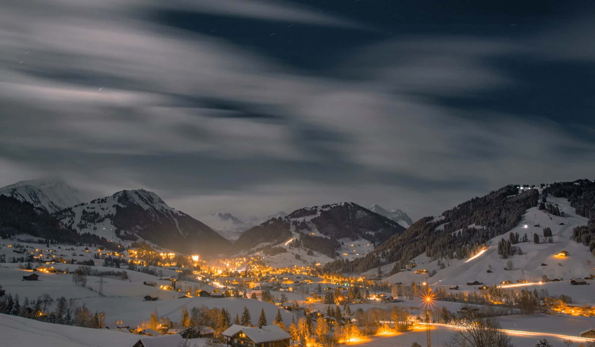
Photo: Sven Pieren via Pexels · Pexels License
- Piste network
- 79 km49.0 mi
- Lifts
- 31
- Top elevation
- 2,096 m6,880 ft
- Ski area
- Villars-Gryon-Les Diablerets
Family score
- 6.1Family
| Fact | Value |
|---|---|
| Beginner score | 7.9 /10 |
| Village elevation | 1,253 m |
| Drive time from the main airport | 90 min |
Facilities
| Fact | Value |
|---|---|
| Childcare facilities | 1 |
| Pools | 2 |
| Ski schools | 0 |
Tips for families
- Villars-sur-Ollon scores 6.1/10 for families.
- 60% of the piste network is green or blue, the easiest classification.
- 1 childcare facility are listed in the resort.
- The village sits at 1253 m.
Easy pistes
| Piste | Difficulty | Length | Vertical |
|---|---|---|---|
| (abandonné) piste | Blue | 6,350 m20,830 ft | 1,035 m3,400 ft |
| 04 Montjoie (Eurotel) | Blue | 3,089 m10,130 ft | 357 m1,170 ft |
| 06 Loveresse (Col de Soud-Gare) | Blue | 2,821 m9,260 ft | 317 m1,040 ft |
| 19 La Traverse | Blue | 2,633 m8,640 ft | 258 m850 ft |
| 05 Parc | Blue | 2,616 m8,580 ft | 338 m1,110 ft |
| 40 Populaire Gryon | Blue | 2,455 m8,050 ft | 430 m1,410 ft |
| 47 Sodoleuvre bleue | Blue | 2,409 m7,900 ft | 487 m1,600 ft |
| 16 Lac Noir | Blue | 1,703 m5,590 ft | 127 m420 ft |
| 26 Sionnaire | Blue | 1,686 m5,530 ft | 282 m930 ft |
| 24 La Rasse | Blue | 1,674 m5,490 ft | 337 m1,110 ft |
| 41 Fracherets | Blue | 1,656 m5,430 ft | 354 m1,160 ft |
| 17 Chaux Ronde Bleue | Blue | 1,452 m4,760 ft | 192 m630 ft |
| 03 Montjoie (Eurotel) | Blue | 1,038 m3,410 ft | 157 m520 ft |
| 50 Gryonne | Blue | 882 m2,890 ft | 128 m420 ft |
| 08 Bretaye-Orsay | Blue | 867 m2,840 ft | 140 m460 ft |
| Chavonnes | Blue | 470 m1,540 ft | 49 m160 ft |
| (abandonné) piste | Blue | 322 m1,060 ft | 55 m180 ft |
| Route de Telecabine | Blue | 284 m930 ft | 9 m30 ft |
| 15 Lac de Bretaye | Blue | 247 m810 ft | 28 m90 ft |
| Palace | Blue | 185 m610 ft | 30 m100 ft |
| Chemin des Grandes Isles | Blue | 140 m460 ft | 2 m10 ft |
| 47 Sodoleuvre Bleue | Blue | 96 m310 ft | 5 m20 ft |
| Chemin de la Ruvine | Blue | 79 m260 ft | 8 m30 ft |
| Route des télécabine | Blue | — | — |
41 unnamed connecting sections, 12 km7.6 mi.
Frequently asked questions
Why does Villars-sur-Ollon score 6.1/10 for families?
The three inputs that move the score most are Beginner score 7.9 /10, Village elevation 1,253 m and Drive time from the main airport 90 min.
Is there childcare in Villars-sur-Ollon?
1 childcare provider are listed in OpenStreetMap for Villars-sur-Ollon.
How many ski schools are there in Villars-sur-Ollon?
0.
How much of Villars-sur-Ollon is easy skiing?
60% of the piste km we measure is green or blue.
How high is the village in Villars-sur-Ollon?
1,253 m, with lifts to 2,096 m.
Are there magic carpets in Villars-sur-Ollon?
4 magic carpets are mapped in Villars-sur-Ollon.
How far is Villars-sur-Ollon from Geneva airport?
Geneva is about 90 minutes by road from Villars-sur-Ollon (72.9 km).
How high is Villars-sur-Ollon?
The highest lift-served point is 2,096 m, with the village at 1,253 m, a vertical of 971 m.
Related pages
Data updated · Sources: OpenStreetMap contributors (ODbL)