Villars-sur-Ollon Snow Forecast
No significant snowfall is forecast for Villars-sur-Ollon in the next 7 days; 0 cm lies on the upper slopes.
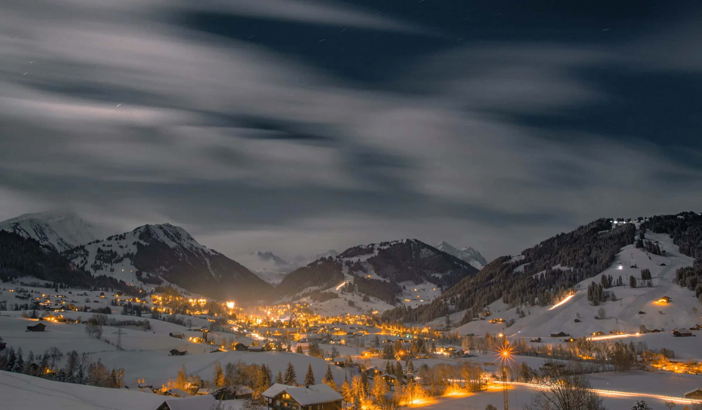
Photo: Sven Pieren via Pexels · Pexels License
- Piste network
- 79 km49.0 mi
- Lifts
- 31
- Top elevation
- 2,096 m6,880 ft
- Ski area
- Villars-Gryon-Les Diablerets
Snow right now
- Base depth
- 0 cm0.0 in
- Top depth
- 0 cm0.0 in
- Fresh 24h
- 0 cm0.0 in
- Fresh 72h
- 0 cm0.0 in
- Fresh 7 days
- 0 cm0.0 in
Modelled snow depth from Open-Meteo, not a resort measurement.
7-day snowfall
Swipe sideways to explore all forecast details.
| Day | Base | Mid | Top | Temp max | Temp min | Wind |
|---|---|---|---|---|---|---|
| 0 cm0.0 in | 0 cm0.0 in | 0 cm0.0 in | 14 °C57 °F | 6 °C43 °F | 9 km/h5 mph | |
| 0 cm0.0 in | 0 cm0.0 in | 0 cm0.0 in | 13 °C56 °F | 6 °C43 °F | 7 km/h5 mph | |
| 0 cm0.0 in | 0 cm0.0 in | 0 cm0.0 in | 14 °C58 °F | 7 °C45 °F | 14 km/h8 mph | |
| 0 cm0.0 in | 0 cm0.0 in | 0 cm0.0 in | 15 °C59 °F | 8 °C46 °F | 8 km/h5 mph | |
| 0 cm0.0 in | 0 cm0.0 in | 0 cm0.0 in | 16 °C60 °F | 8 °C47 °F | 9 km/h6 mph | |
| 0 cm0.0 in | 0 cm0.0 in | 0 cm0.0 in | 16 °C60 °F | 7 °C45 °F | 8 km/h5 mph | |
| 0 cm0.0 in | 0 cm0.0 in | 0 cm0.0 in | 15 °C59 °F | 7 °C45 °F | 8 km/h5 mph |
- Base
- Mid mountain
- Top
Best day to ski this week
Wednesday 23 September
- Top-station wind: 7.4 km/h
- Visibility: 33880 m
- Rain: 0 mm
Snow depth trend
- Base depth
- Top depth
Freezing level
- Freezing level
- Base elevation
- Top elevation
Wind
- Wind speed
- Gusts
14-day outlook
Swipe sideways to explore all forecast details.
| Day | Base | Mid | Top |
|---|---|---|---|
| 0 cm0.0 in | 0 cm0.0 in | 0 cm0.0 in | |
| 0 cm0.0 in | 0 cm0.0 in | 0 cm0.0 in | |
| 0 cm0.0 in | 0 cm0.0 in | 0 cm0.0 in | |
| 0 cm0.0 in | 0 cm0.0 in | 0 cm0.0 in | |
| 0 cm0.0 in | 0 cm0.0 in | 0 cm0.0 in | |
| 0 cm0.0 in | 0 cm0.0 in | 0 cm0.0 in | |
| 0 cm0.0 in | 0 cm0.0 in | 0 cm0.0 in | |
| 0 cm0.0 in | 0 cm0.0 in | 0 cm0.0 in | |
| 0 cm0.0 in | 0 cm0.0 in | 0 cm0.0 in | |
| 0 cm0.0 in | 0 cm0.0 in | 0 cm0.0 in | |
| 0 cm0.0 in | 0 cm0.0 in | 0 cm0.0 in | |
| 0 cm0.0 in | 0 cm0.0 in | 0 cm0.0 in | |
| 0 cm0.0 in | 0 cm0.0 in | 0 cm0.0 in |
- Base
- Mid mountain
- Top
Historical monthly averages
- Mean snowfall
- Mean snow depth
See the full snow history for Villars-sur-Ollon.
Snow alerts
Get an email when the forecast for Villars-sur-Ollon crosses the amount of snow you care about. Pick the depth, the window and the elevation; stop the alert from any email in one click.
Frequently asked questions
How much snow is forecast for Villars-sur-Ollon in the next 3 days?
0 cm at mid-mountain over the next three days, from the Open-Meteo model run shown above.
How much snow will Villars-sur-Ollon get this week?
0 cm at mid-mountain over the next seven days.
Where is the freezing level in Villars-sur-Ollon today?
4,380 m at midday, against a base at 1,125 m and a top station at 2,096 m.
What is the best day to ski in Villars-sur-Ollon this week?
Wednesday 23 September — top-station wind 7.4 km/h, visibility 33880 m. The ranking uses fresh snow, wind, visibility, cloud and rain from the hourly forecast.
How deep is the snow at the top of Villars-sur-Ollon compared with the base?
0 cm at the top and 0 cm at the base, modelled from Open-Meteo rather than measured by the resort.
Is it snowing in Villars-sur-Ollon now?
0 cm has fallen in the last 24 hours.
Where does this forecast come from?
Open-Meteo, sampled at the village, mid-mountain and the top station for Villars-sur-Ollon and refreshed hourly.
How far is Villars-sur-Ollon from Geneva airport?
Geneva is about 90 minutes by road from Villars-sur-Ollon (72.9 km).
Related pages
Data updated · Sources: Open-MeteoDepth is modelled, not measured by the resort.