Villars-sur-Ollon Piste Map 2026/27
The official Villars-sur-Ollon piste map for 2026/27 is published by the resort (link below); every lift and run is listed here: 80.1 km of pistes (0 green, 22 blue, 15 red, 3 black) and 31 lifts.
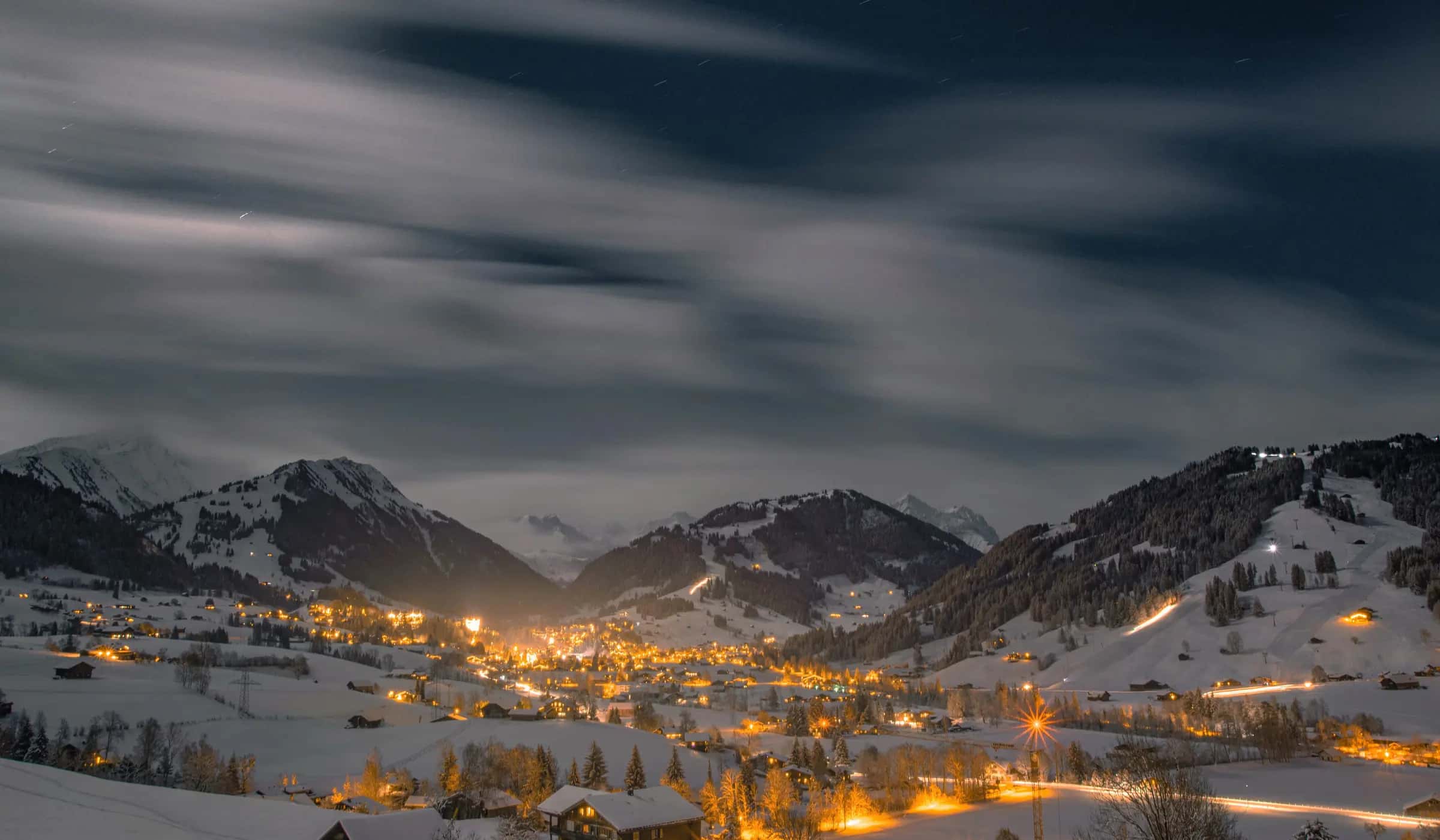
Photo: Sven Pieren via Pexels · Pexels License
Piste map
Lifts
| Lift | Type | Bottom → top | Length | Capacity/h |
|---|---|---|---|---|
| Barboleuse - Les Chaux | Gondola | 1,251 m4,100 ft → 1,762 m5,780 ft | 2,488 m8,160 ft | 600 |
| Bretaye - Orsay | Platter lift | 1,801 m5,910 ft → 1,945 m6,380 ft | 698 m2,290 ft | 1,000 |
| Chaux Ronde 1 | T-bar | 1,799 m5,900 ft → 1,970 m6,460 ft | 769 m2,520 ft | 1,125 |
| Chaux Ronde 2 | T-bar | 1,799 m5,900 ft → 1,970 m6,460 ft | 768 m2,520 ft | 1,125 |
| Chavonnes | Rope tow | 1,695 m5,560 ft → 1,712 m5,620 ft | 134 m440 ft | 800 |
| Combe d'Orsay | Platter lift | 1,750 m5,740 ft → 1,974 m6,480 ft | 658 m2,160 ft | 900 |
| Conche - Mi Laouissalet | Chairlift | 1,765 m5,790 ft → 1,821 m5,970 ft | 1,961 m6,430 ft | 1,500 |
| Diablerets express | Gondola | 1,169 m3,840 ft → 1,715 m5,630 ft | 2,258 m7,410 ft | 2,500 |
| École suisse de ski | Platter lift | 1,260 m4,130 ft → 1,290 m4,230 ft | 182 m600 ft | 500 |
| Fracherets | T-bar | 1,543 m5,060 ft → 1,765 m5,790 ft | 821 m2,690 ft | 820 |
| Frience | Magic carpet | 1,514 m4,970 ft → 1,540 m5,050 ft | 174 m570 ft | - |
| Grand Chamossaire | Chairlift | 1,795 m5,890 ft → 2,096 m6,880 ft | 1,098 m3,600 ft | 2,400 |
| Gryonne | T-bar | 1,362 m4,470 ft → 1,445 m4,740 ft | 428 m1,400 ft | 700 |
| Lac de Bretaye | Platter lift | 1,781 m5,840 ft → 1,809 m5,940 ft | 241 m790 ft | 400 |
| Lac Noir - Bretaye | Platter lift | 1,719 m5,640 ft → 1,805 m5,920 ft | 570 m1,870 ft | 900 |
| Lac Noir - Chaux Ronde | Chairlift | 1,761 m5,780 ft → 1,973 m6,470 ft | 916 m3,010 ft | 2,400 |
| Laouissalet - Meilleret | Chairlift | 1,677 m5,500 ft → 1,942 m6,370 ft | 1,050 m3,440 ft | 2,800 |
| La Rasse - Chaux Ronde | Chairlift | 1,362 m4,470 ft → 1,970 m6,460 ft | 2,131 m6,990 ft | 2,000 |
| Petit Chamossaire | Chairlift | 1,724 m5,660 ft → 2,024 m6,640 ft | 994 m3,260 ft | 830 |
| Plan-Métroz | Platter lift | 1,692 m5,550 ft → 1,762 m5,780 ft | 402 m1,320 ft | 600 |
| Pony-Diablerets | Rope tow | 1,165 m3,820 ft → 1,194 m3,920 ft | 175 m570 ft | - |
| Pony-Diablerets | Rope tow | 1,175 m3,850 ft → 1,207 m3,960 ft | 174 m570 ft | - |
| Ruvine | T-bar | 1,340 m4,400 ft → 1,718 m5,640 ft | 1,696 m5,560 ft | 640 |
| Ruvine | T-bar | 1,340 m4,400 ft → 1,718 m5,640 ft | 1,663 m5,460 ft | 640 |
| Ruvine - Meilleret | Chairlift | 1,550 m5,090 ft → 1,928 m6,330 ft | 1,031 m3,380 ft | 2,000 |
| Sodoleuvre - La Croix | Chairlift | 1,431 m4,690 ft → 1,977 m6,490 ft | 2,030 m6,660 ft | 1,800 |
| Tapis des Chaux | Magic carpet | 1,757 m5,760 ft → 1,765 m5,790 ft | 98 m320 ft | - |
| Vers-l'Église | Platter lift | 1,125 m3,690 ft → 1,499 m4,920 ft | 1,091 m3,580 ft | 570 |
| Villars - Roc d'Orsay | Gondola | 1,290 m4,230 ft → 1,935 m6,350 ft | 2,160 m7,090 ft | 2,000 |
| Magic carpet | Magic carpet | 1,258 m4,130 ft → 1,258 m4,130 ft | 59 m190 ft | - |
| Magic carpet | Magic carpet | 1,265 m4,150 ft → 1,265 m4,150 ft | 30 m100 ft | - |
Pistes
Blue (24)
| Piste | Difficulty | Length | Vertical | Top elevation |
|---|---|---|---|---|
| (abandonné) piste | Blue | 7,117 m23,350 ft | 1,129 m3,700 ft | 1,889 m6,200 ft |
| 04 Montjoie (Eurotel) | Blue | 3,089 m10,130 ft | 357 m1,170 ft | 1,795 m5,890 ft |
| 06 Loveresse (Col de Soud-Gare) | Blue | 2,821 m9,260 ft | 317 m1,040 ft | 1,555 m5,100 ft |
| 19 La Traverse | Blue | 2,633 m8,640 ft | 258 m850 ft | 1,973 m6,470 ft |
| 05 Parc | Blue | 2,616 m8,580 ft | 338 m1,110 ft | 1,468 m4,820 ft |
| 40 Populaire Gryon | Blue | 2,455 m8,050 ft | 430 m1,410 ft | 1,642 m5,390 ft |
| 47 Sodoleuvre bleue | Blue | 2,409 m7,900 ft | 487 m1,600 ft | 1,977 m6,490 ft |
| 16 Lac Noir | Blue | 1,703 m5,590 ft | 127 m420 ft | 1,815 m5,950 ft |
| 26 Sionnaire | Blue | 1,686 m5,530 ft | 282 m930 ft | 1,741 m5,710 ft |
| 24 La Rasse | Blue | 1,674 m5,490 ft | 337 m1,110 ft | 1,699 m5,570 ft |
| 41 Fracherets | Blue | 1,656 m5,430 ft | 354 m1,160 ft | 1,765 m5,790 ft |
| 17 Chaux Ronde Bleue | Blue | 1,452 m4,760 ft | 192 m630 ft | 1,973 m6,470 ft |
| 03 Montjoie (Eurotel) | Blue | 1,038 m3,410 ft | 157 m520 ft | 1,517 m4,980 ft |
| 50 Gryonne | Blue | 882 m2,890 ft | 128 m420 ft | 1,490 m4,890 ft |
| 08 Bretaye-Orsay | Blue | 867 m2,840 ft | 140 m460 ft | 1,935 m6,350 ft |
| Chavonnes | Blue | 470 m1,540 ft | 49 m160 ft | 1,724 m5,660 ft |
| (abandonné) piste | Blue | 322 m1,060 ft | 55 m180 ft | 1,783 m5,850 ft |
| Route de Telecabine | Blue | 284 m930 ft | 9 m30 ft | 1,260 m4,130 ft |
| 15 Lac de Bretaye | Blue | 247 m810 ft | 28 m90 ft | 1,809 m5,940 ft |
| Palace | Blue | 185 m610 ft | 30 m100 ft | 1,290 m4,230 ft |
| Chemin des Grandes Isles | Blue | 140 m460 ft | 2 m10 ft | 1,162 m3,810 ft |
| 47 Sodoleuvre Bleue | Blue | 96 m310 ft | 5 m20 ft | 1,762 m5,780 ft |
| Chemin de la Ruvine | Blue | 79 m260 ft | 8 m30 ft | 1,340 m4,400 ft |
| Route des télécabine | Blue | - | - | 1,251 m4,100 ft |
Red (15)
| Piste | Difficulty | Length | Vertical | Top elevation |
|---|---|---|---|---|
| (abandonné) piste | Red | 5,045 m16,550 ft | 1,123 m3,680 ft | 2,129 m6,980 ft |
| (abandonné) piste Isenau-Col du Pillon | Red | 1,957 m6,420 ft | 243 m800 ft | 1,817 m5,960 ft |
| 42 La Croix Rouge | Red | 1,926 m6,320 ft | 486 m1,590 ft | 1,948 m6,390 ft |
| 13 Aigle | Red | 1,760 m5,770 ft | 361 m1,180 ft | 2,024 m6,640 ft |
| 44 Leurins Rouge (Fracherets) | Red | 1,757 m5,760 ft | 401 m1,320 ft | 1,815 m5,950 ft |
| 46 Cuelle | Red | 1,747 m5,730 ft | 306 m1,000 ft | 1,797 m5,900 ft |
| 09 Combe d'Orsay | Red | 1,446 m4,740 ft | 363 m1,190 ft | 1,974 m6,480 ft |
| 14 Chamois | Red | 1,380 m4,530 ft | 319 m1,050 ft | 1,992 m6,540 ft |
| 11 Chamossaire Sud | Red | 1,121 m3,680 ft | 247 m810 ft | 2,096 m6,880 ft |
| 48 Sodoleuvre Rouge | Red | 960 m3,150 ft | 267 m880 ft | 1,757 m5,760 ft |
| 20 Les Rochers | Red | 839 m2,750 ft | 246 m810 ft | 1,964 m6,440 ft |
| 10 Chamossaire Nord | Red | 781 m2,560 ft | 191 m630 ft | 2,096 m6,880 ft |
| Slalom Piste | Red | 738 m2,420 ft | 149 m490 ft | 1,964 m6,440 ft |
| 21 Les Vernes | Red | 622 m2,040 ft | 185 m610 ft | 1,918 m6,290 ft |
| 03 Golette | Red | 444 m1,460 ft | 150 m490 ft | 1,519 m4,980 ft |
Black (3)
| Piste | Difficulty | Length | Vertical | Top elevation |
|---|---|---|---|---|
| 43 La Croix Noire | Black | 779 m2,560 ft | 198 m650 ft | 1,977 m6,490 ft |
| (abandonné) piste | Black | 399 m1,310 ft | 99 m320 ft | 1,876 m6,150 ft |
| Chamois | Black | 239 m780 ft | 54 m180 ft | 1,998 m6,560 ft |
Freeride (8)
| Piste | Difficulty | Length | Vertical | Top elevation |
|---|---|---|---|---|
| Chemin du Vernex | Unclassified | 3,698 m12,130 ft | 17 m60 ft | 1,201 m3,940 ft |
| 22 Le Crot | Freeride | 2,556 m8,390 ft | 537 m1,760 ft | 1,970 m6,460 ft |
| Route de Coufin | Unclassified | 1,689 m5,540 ft | 108 m350 ft | 1,530 m5,020 ft |
| Route du Col de la Croix | Unclassified | 1,507 m4,940 ft | 169 m550 ft | 1,640 m5,380 ft |
| 07 Bouqetins (Roc-Villars) | Freeride | 1,365 m4,480 ft | 437 m1,430 ft | 1,875 m6,150 ft |
| Route des Côtes | Unclassified | 1,165 m3,820 ft | 21 m70 ft | 1,158 m3,800 ft |
| Route de Sodoleuvre | Unclassified | 962 m3,160 ft | 41 m130 ft | 1,444 m4,740 ft |
| Route du Col de la Croix | Unclassified | 236 m770 ft | 13 m40 ft | 1,652 m5,420 ft |
104 unnamed connecting sections, 30 km18.6 mi.
Frequently asked questions
How many runs of each colour does Villars-sur-Ollon have?
0 green, 22 blue, 15 red and 3 black, 42 in total.
What is the longest run in Villars-sur-Ollon?
The longest single marked run we measure is 7.4 km.
What are the hardest runs in Villars-sur-Ollon?
The black runs we hold names for include 43 La Croix Noire, (abandonné) piste and Chamois.
Where can I download the Villars-sur-Ollon piste map?
The resort publishes the current map itself; the link on this page goes straight to it, and the lift and piste tables below are generated from OpenStreetMap.
What kinds of lift does Villars-sur-Ollon have?
3 gondolas or cable cars, 8 chairlifts, 16 drag lifts and 4 magic carpets.
How far is Villars-sur-Ollon from Geneva airport?
Geneva is about 90 minutes by road from Villars-sur-Ollon (72.9 km).
How high is Villars-sur-Ollon?
The highest lift-served point is 2,096 m, with the village at 1,253 m, a vertical of 971 m.
How many km of pistes does Villars-sur-Ollon have?
Villars-sur-Ollon has 80.1 km of marked pistes across 42 runs, measured from OpenStreetMap geometry.
Related pages
Data updated · Sources: OpenStreetMap contributors (ODbL)