Zell am See Snow Forecast
Zell am See is forecast to get 0 cm of snow over the next 72 hours and 22.2 cm over the next 7 days at the top, with the freezing level at 2,560 m and 0 cm of snow on the upper slopes. Best day to ski this week: Monday 2 November.
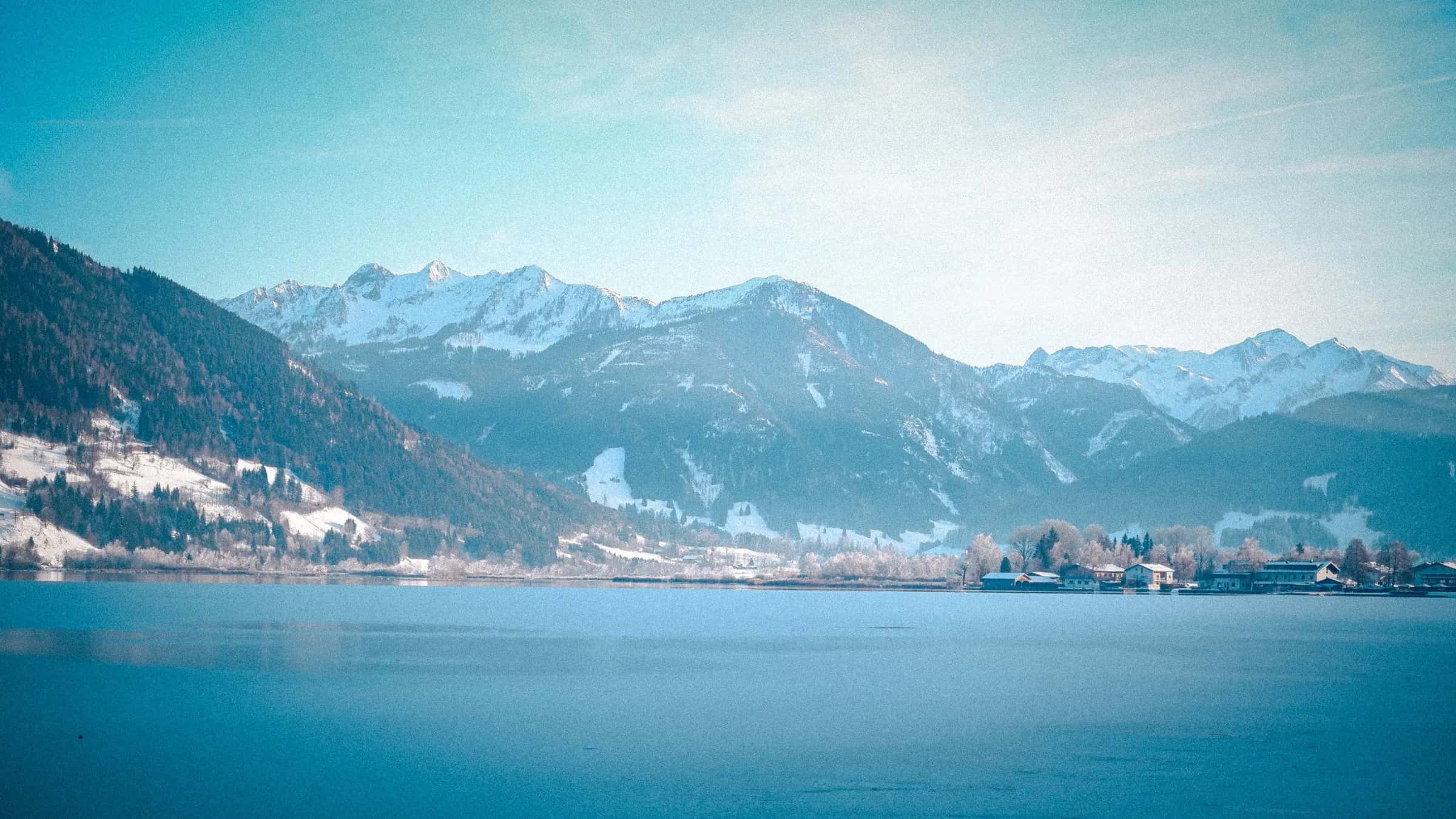
Photo: Hooman Beings via Pexels · Pexels License
Snow at Zell am See: fallen and coming
First snow forecast: 2 cm at the top on Saturday, snow down to 1,580 m.
Day by day
Snow at the top0 cm0.0 inHigh / low at the top7 °C44 °F0 °C33 °F
3-hourly detail for Wednesday 28 October Snow at the top 0 cm0.0 in 0 cm0.0 in 0 cm0.0 in 0 cm0.0 in Temperature at the top 7 °C44 °F 4 °C39 °F 2 °C35 °F 1 °C34 °F Temperature in the village 13 °C55 °F 13 °C55 °F 10 °C50 °F 9 °C49 °F Freezing level 2,630 m8,630 ft 2,560 m8,400 ft 2,290 m7,510 ft 2,080 m6,820 ft Wind at the top 5 km/h3 mph 14 km/h9 mph 12 km/h7 mph 10 km/h6 mph Snow at the top0 cm0.0 inHigh / low at the top2 °C35 °F-2 °C28 °F
3-hourly detail for Thursday 29 October Snow at the top 0 cm0.0 in 0 cm0.0 in 0 cm0.0 in 0 cm0.0 in 0 cm0.0 in 0 cm0.0 in 0 cm0.0 in 0 cm0.0 in Temperature at the top 0 °C32 °F 0 °C31 °F -1 °C29 °F 0 °C31 °F 1 °C35 °F 1 °C33 °F 0 °C32 °F -1 °C30 °F Temperature in the village 9 °C47 °F 8 °C46 °F 6 °C43 °F 8 °C46 °F 10 °C50 °F 10 °C50 °F 9 °C48 °F 9 °C47 °F Freezing level 1,990 m6,530 ft 1,910 m6,270 ft 1,800 m5,910 ft 1,770 m5,810 ft 1,858 m6,100 ft 1,930 m6,330 ft 1,920 m6,300 ft 1,900 m6,230 ft Wind at the top 8 km/h5 mph 6 km/h4 mph 7 km/h4 mph 3 km/h2 mph 6 km/h4 mph 3 km/h2 mph 2 km/h1 mph 1 km/h0 mph Snow at the top0 cm0.0 inHigh / low at the top3 °C38 °F-3 °C26 °F
3-hourly detail for Friday 30 October Snow at the top 0 cm0.0 in 0 cm0.0 in 0 cm0.0 in 0 cm0.0 in 0 cm0.0 in 0 cm0.0 in 0 cm0.0 in 0 cm0.0 in Temperature at the top -2 °C28 °F -3 °C27 °F -3 °C26 °F -1 °C30 °F 2 °C36 °F 3 °C38 °F 0 °C32 °F -1 °C31 °F Temperature in the village 7 °C44 °F 6 °C43 °F 5 °C41 °F 7 °C44 °F 10 °C51 °F 12 °C53 °F 8 °C46 °F 7 °C44 °F Freezing level 1,870 m6,140 ft 1,880 m6,170 ft 1,830 m6,000 ft 1,840 m6,040 ft 2,210 m7,250 ft 2,230 m7,320 ft 2,050 m6,730 ft 1,990 m6,530 ft Wind at the top 1 km/h1 mph 2 km/h1 mph 1 km/h0 mph 4 km/h2 mph 5 km/h3 mph 4 km/h3 mph 5 km/h3 mph 3 km/h2 mph Snow at the top2 cm0.8 inHigh / low at the top1 °C34 °F-3 °C26 °F
3-hourly detail for Saturday 31 October Snow at the top 0 cm0.0 in 0 cm0.0 in 0 cm0.0 in 0 cm0.0 in 0 cm0.0 in <1 cm<0.4 in <1 cm<0.4 in 1 cm0.6 in Temperature at the top -1 °C31 °F -1 °C30 °F -2 °C28 °F -1 °C30 °F 1 °C34 °F 0 °C33 °F -2 °C29 °F -3 °C27 °F Temperature in the village 7 °C45 °F 6 °C43 °F 5 °C42 °F 6 °C43 °F 9 °C49 °F 9 °C48 °F 7 °C44 °F 5 °C41 °F Freezing level 1,880 m6,170 ft 1,780 m5,840 ft 1,660 m5,450 ft 1,580 m5,180 ft 1,700 m5,580 ft 1,760 m5,770 ft 1,680 m5,510 ft 1,550 m5,090 ft Wind at the top 1 km/h0 mph 3 km/h2 mph 5 km/h3 mph 4 km/h2 mph 5 km/h3 mph 6 km/h4 mph 7 km/h4 mph 7 km/h5 mph Snow at the top10 cm4.0 inHigh / low at the top-3 °C26 °F-5 °C23 °F
3-hourly detail for Sunday 1 November Snow at the top 2 cm0.8 in 2 cm0.7 in 2 cm0.7 in 2 cm0.6 in 1 cm0.5 in <1 cm<0.4 in <1 cm<0.4 in <1 cm<0.4 in Temperature at the top -3 °C26 °F -4 °C25 °F -4 °C24 °F -4 °C24 °F -4 °C25 °F -4 °C25 °F -5 °C24 °F -5 °C23 °F Temperature in the village 5 °C40 °F 4 °C40 °F 3 °C37 °F 3 °C37 °F 5 °C40 °F 5 °C41 °F 4 °C39 °F 3 °C37 °F Freezing level 1,440 m4,720 ft 1,370 m4,490 ft 1,290 m4,230 ft 1,250 m4,100 ft 1,300 m4,270 ft 1,340 m4,400 ft 1,290 m4,230 ft 1,210 m3,970 ft Wind at the top 7 km/h4 mph 8 km/h5 mph 7 km/h4 mph 7 km/h4 mph 6 km/h4 mph 6 km/h4 mph 5 km/h3 mph 4 km/h2 mph BestSnow at the top6 cm2.5 inHigh / low at the top-5 °C23 °F-6 °C21 °F
3-hourly detail for Monday 2 November Snow at the top <1 cm<0.4 in <1 cm<0.4 in 1 cm0.4 in 1 cm0.5 in <1 cm<0.4 in <1 cm<0.4 in <1 cm<0.4 in <1 cm<0.4 in Temperature at the top -5 °C23 °F -5 °C22 °F -6 °C22 °F -5 °C22 °F -5 °C23 °F -5 °C23 °F -6 °C22 °F -6 °C21 °F Temperature in the village 3 °C37 °F 3 °C37 °F 2 °C36 °F 3 °C37 °F 3 °C37 °F 3 °C37 °F 2 °C36 °F 2 °C35 °F Freezing level 1,170 m3,840 ft 1,150 m3,770 ft 1,155 m3,790 ft 1,190 m3,900 ft 1,210 m3,970 ft 1,210 m3,970 ft 1,170 m3,840 ft 1,140 m3,740 ft Wind at the top 5 km/h3 mph 5 km/h3 mph 7 km/h5 mph 12 km/h8 mph 12 km/h8 mph 12 km/h7 mph 11 km/h7 mph 9 km/h6 mph Snow at the top4 cm1.5 inHigh / low at the top-4 °C25 °F-6 °C21 °F
3-hourly detail for Tuesday 3 November Snow at the top <1 cm<0.4 in <1 cm<0.4 in <1 cm<0.4 in <1 cm<0.4 in <1 cm<0.4 in <1 cm<0.4 in <1 cm<0.4 in <1 cm<0.4 in Temperature at the top -6 °C21 °F -6 °C21 °F -6 °C21 °F -5 °C23 °F -4 °C24 °F -4 °C24 °F -5 °C23 °F -5 °C23 °F Temperature in the village 2 °C35 °F 1 °C35 °F 1 °C35 °F 2 °C36 °F 3 °C37 °F 3 °C37 °F 2 °C36 °F 2 °C36 °F Freezing level 1,120 m3,670 ft 1,110 m3,640 ft 1,110 m3,640 ft 1,150 m3,770 ft 1,200 m3,940 ft 1,210 m3,970 ft 1,180 m3,870 ft 1,160 m3,810 ft Wind at the top 9 km/h6 mph 9 km/h5 mph 8 km/h5 mph 9 km/h6 mph 10 km/h6 mph 10 km/h6 mph 7 km/h4 mph 5 km/h3 mph - Days 8 to 14, lower confidence
- Snow at the top0 cm0.0 inHigh / low at the top4 °C39 °F-5 °C24 °F
- Snow at the top0 cm0.0 inHigh / low at the top3 °C37 °F-6 °C22 °F
- Snow at the top8 cm3.0 inHigh / low at the top0 °C33 °F-4 °C26 °F
- Snow at the top0 cm0.0 inHigh / low at the top5 °C40 °F-4 °C25 °F
- Snow at the top0 cm0.0 inHigh / low at the top5 °C41 °F-4 °C25 °F
- Snow at the top0 cm0.0 inHigh / low at the top5 °C41 °F-4 °C25 °F
- Snow at the top0 cm0.0 inHigh / low at the top8 °C46 °F-3 °C27 °F
Days 8 to 14: 8 cm at the top in total. Lower confidence than the first week; wind for those days is the all-day maximum.
Snow line and freezing level
Freezing level 2,630 m8,630 ft at midday today. Above the top station: rain possible on all slopes.
- Freezing level
- Base elevation
- Top elevation
Snow on the ground
No snow on the slopes yet.
What's normal for this month
Mid-mountain averages
| Month | October | November |
|---|---|---|
| Mean snowfall | 19 cm8 in | 54 cm21 in |
| Mean depth | 2 cm1 in | 15 cm6 in |
See the full snow history for Zell am See.
Snow alerts
Get an email when the forecast for Zell am See crosses the amount of snow you care about. Pick the depth, the window and the elevation; stop the alert from any email in one click.
Frequently asked questions
How much snow is forecast for Zell am See in the next 3 days?
0 cm at the top station over the next 72 hours, from the Open-Meteo model run shown above.
How much snow will Zell am See get this week?
22.2 cm at the top station over the next seven days.
Where is the freezing level in Zell am See today?
2,560 m at midday, against a base at 760 m and a top station at 2,000 m.
What is the best day to ski in Zell am See this week?
Monday 2 November: fresh snow 17.1 cm, top-station wind 12.6 km/h. The ranking uses fresh snow, wind, visibility, cloud and rain from the hourly forecast.
How deep is the snow at the top of Zell am See compared with the base?
0 cm at the top and 0 cm at the base, modelled from Open-Meteo rather than measured by the resort.
Is it snowing in Zell am See now?
0 cm has fallen in the last 24 hours.
Where does this forecast come from?
Open-Meteo, sampled at the village, mid-mountain and the top station for Zell am See and refreshed hourly.
How far is Zell am See from Salzburg airport?
Salzburg is about 88 minutes by road from Zell am See (54.5 km).
Related pages
Data updated · Sources: Open-MeteoDepth is modelled, not measured by the resort.